


About Ditchling Beacon
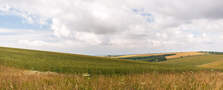
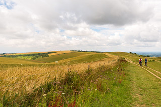
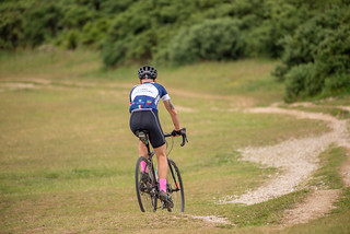
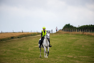
Ditchling Beacon is the highest point in East Sussex, England, with an elevation of 248 m (814 ft).[1] It is south of Ditchling and to the north-east of Brighton. It is a large chalk hill with a particularly steep northern face, covered with open grassland and sheep-grazing areas. It is the third-highest point on the South Downs, behind Butser Hill (270 m (890 ft)) and Crown Tegleaze (253 m (830 ft)). A road runs from Ditchling up and across the northern face and down into the northern suburbs of Brighton, and there are car parks at the summit and the northern base. Various charity, sporting and other events which are run regularly between London and Brighton incorporate this steep road as a challenging part of their route. It was also featured as a climb on the first of two days' racing in Britain in the 1994 Tour de France. The Tour organisers gave Ditchling Beacon a climb category of 4. 20 years later it was included as part of the route of the seventh stage of the 2014 Tour of Britain from Camberley to Brighton.
en.wikipedia.org