


About Horsham
Horsham holds the UK record for the heaviest hailstone ever to fall. On 5 September 1958, a hailstone weighing 140g (4.9 oz) landed in the town. It was similar in size to a tennis ball and impact speeds have been calculated to be 100 m/s (224 mph).
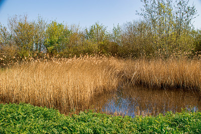
Horsham has grown up around the Carfax. To the south of the Carfax is the Causeway. This street consists of houses erected in the 17th, 18th, and early 19th century and is lined with ancient London Plane trees. The Horsham Museum is at the north end opposite to the recently developed former headquarters of the R.S.P.C.A.. At the south end of the Causeway is the Church of England parish church of St. Mary: Norman in origin, rebuilt in the 13th century and restored in 1864–65 by the Gothic revival architect S.S. Teulon.[4] The area immediately to the south of the parish church is known as Normandy. It was formerly an area of artisans cottages and an ancient well. Fifty metres south is the River Arun. On the northern bank is Prewett's Mill, and on the south side is the town's cricket field. A short walk along the banks of the Arun in a south-easterly direction is Chesworth Farm, an area of open public access.
en.wikipedia.org