

About Varadero
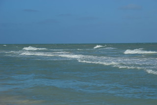
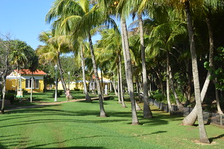
Varadero is a two-hour drive east of central Havana. It is situated on the Hicacos Peninsula, between the Bay of Cárdenas and the Straits of Florida, some 140 km east of Havana, at the eastern end of the Via Blanca highway. The peninsula is only 1.2 km wide at its widest point and is separated from the island of Cuba by the Kawama Channel, separated from the mainland by the Laguna Paso Malo. This spit of land extends more than 20 kilometers from the mainland in a northeasterly direction and its tip, Punta Hicacos, is the northernmost point of the island of Cuba. Varadero's town has three longitudinal avenues, intersected by 69 cross streets. At the northeastern end of the peninsula there is a nature reserve with virgin forests and beaches. The Hicacos Point Natural Park is a 3.12 km2 (1.20 sq mi) ecological preserve established in 1974. It contains the 250 m (820 ft)-long Cave of Ambrosio, Mangón Lake (home to 31 species of birds and 24 species of reptiles) and the ruins of the La Calavera (The Skull) Salt Works (one of the first salt works to be constructed by the Spanish in the New World). The cays developed off shore, such as Cayo Piedras and Cayo Cruz del Padre are the westernmost part of the Sabana-Camaguey Archipelago.
en.wikipedia.org