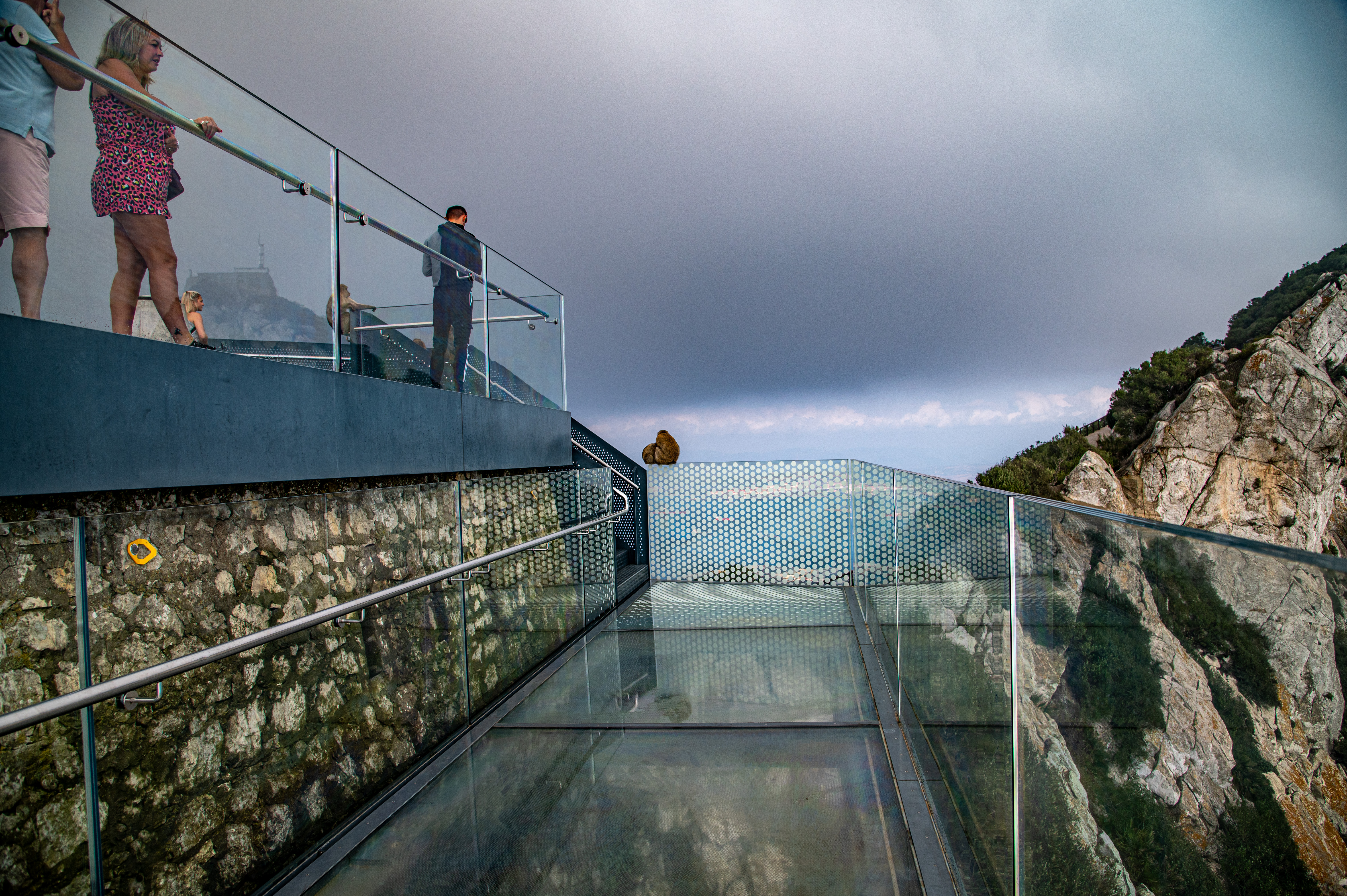
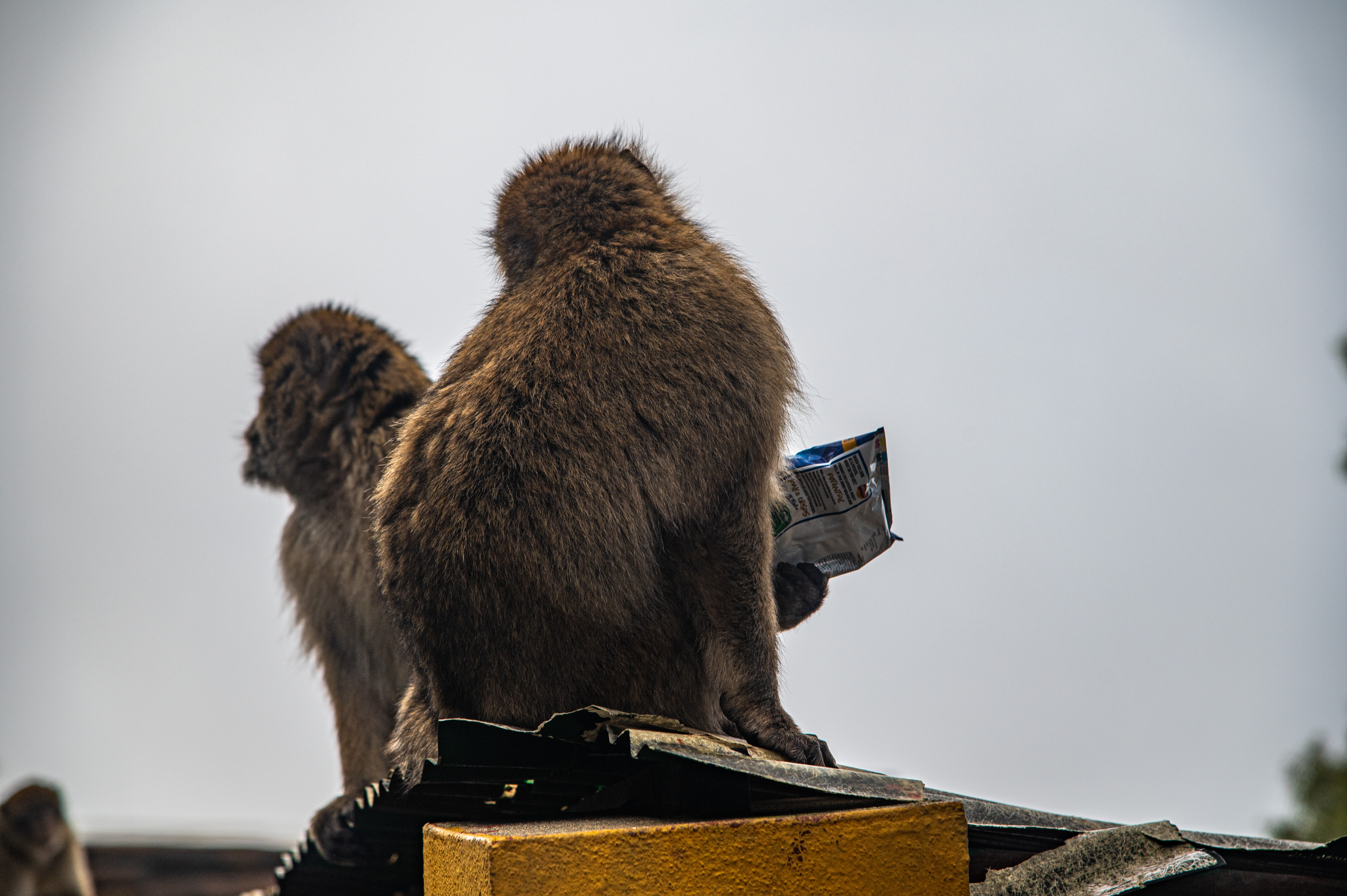
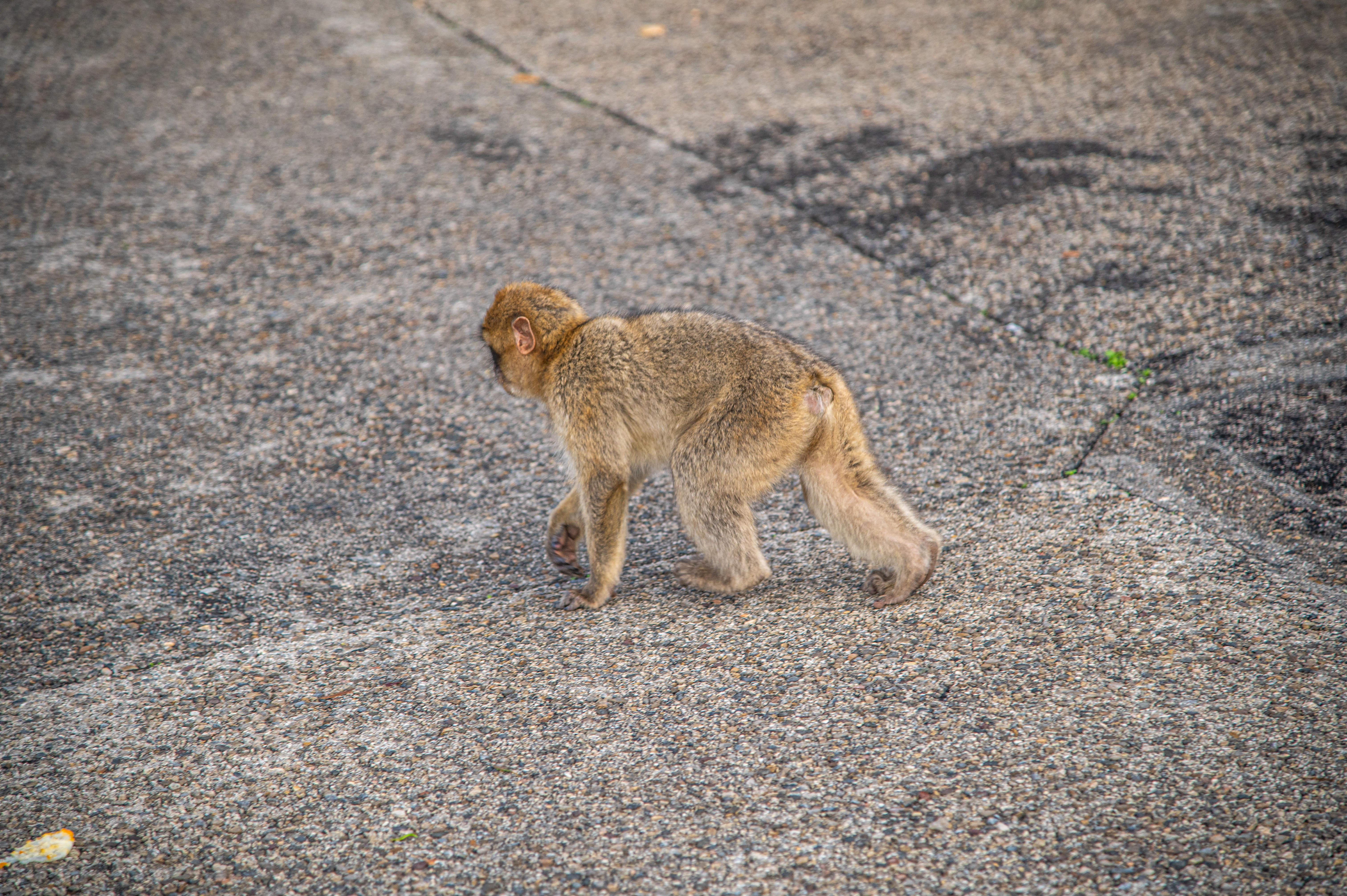
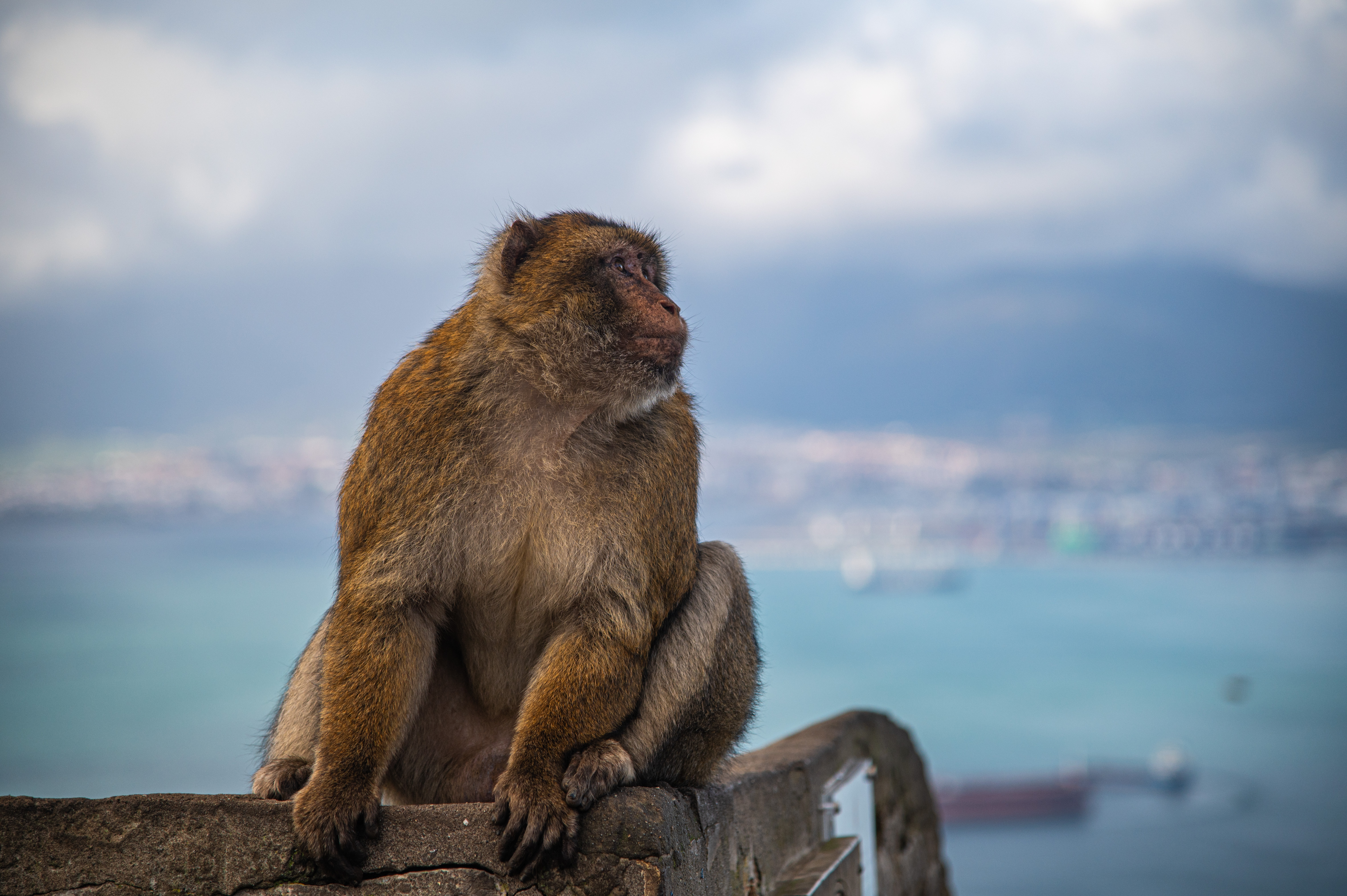
The Rock of Gibraltar Gallery
©www.mgaylard.co.uk.
filename: Skywalk_09302021_DSC_3257.jpg
©www.mgaylard.co.uk.
filename: Skywalk_09302021_DSC_3255.jpg
©www.mgaylard.co.uk.
filename: Skywalk_09302021_DSC_3248.jpg
©www.mgaylard.co.uk.
filename: Skywalk_09302021_DSC_3247.jpg
©www.mgaylard.co.uk.
filename: Skywalk_09302021_DSC_3243.jpg

©www.mgaylard.co.uk.
filename: Skywalk_09302021_DSC_3242.jpg
©www.mgaylard.co.uk.
filename: Skywalk_09302021_DSC_3240.jpg
©www.mgaylard.co.uk.
filename: Skywalk_09302021_DSC_3234.jpg
©www.mgaylard.co.uk.
filename: Skywalk_09302021_DSC_3233.jpg
©www.mgaylard.co.uk.
filename: Skywalk_09302021_DSC_3231.jpg

©www.mgaylard.co.uk.
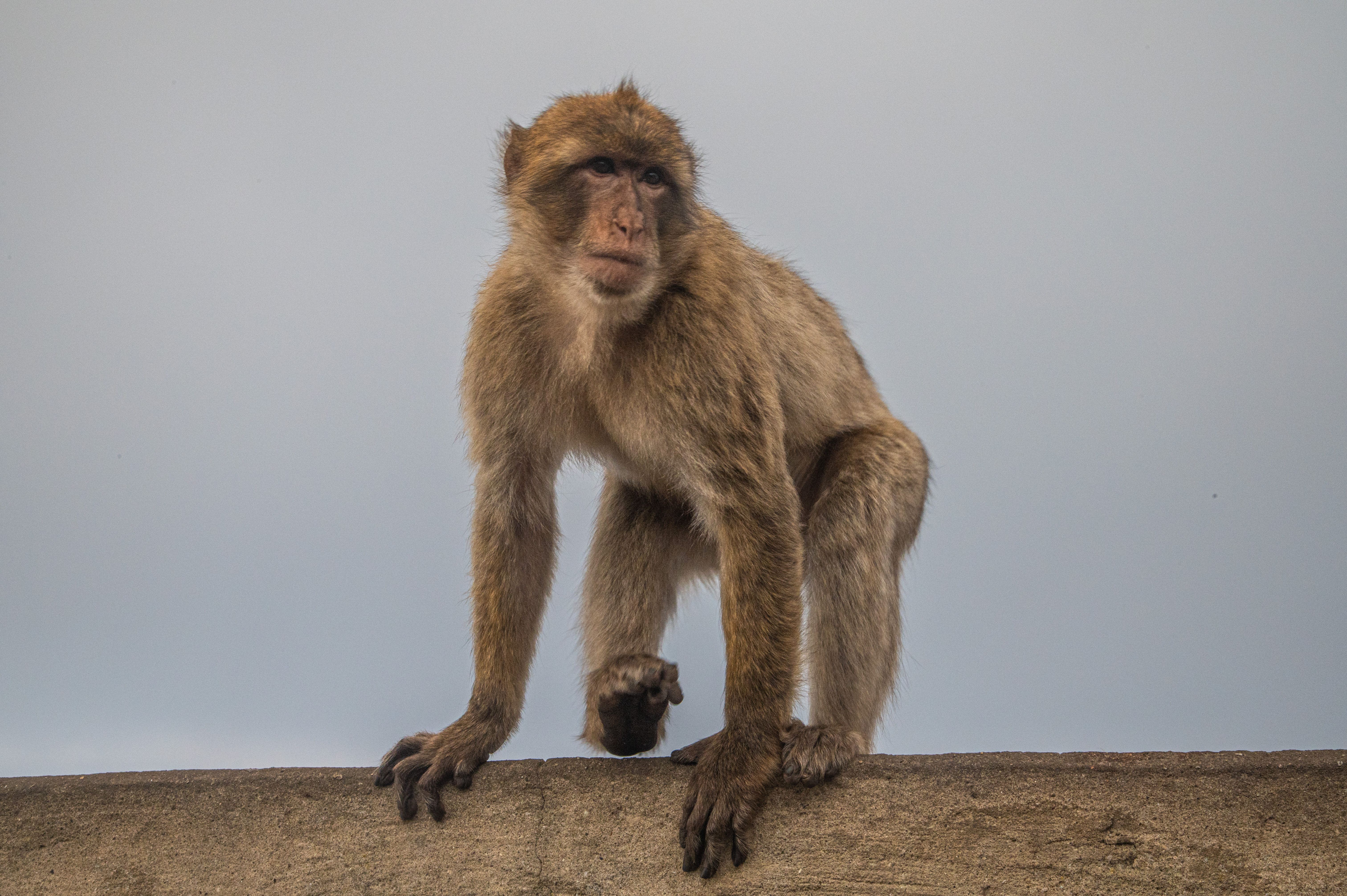
filename: Apes_Den_20211226_DSC_5760.jpg
©www.mgaylard.co.uk.
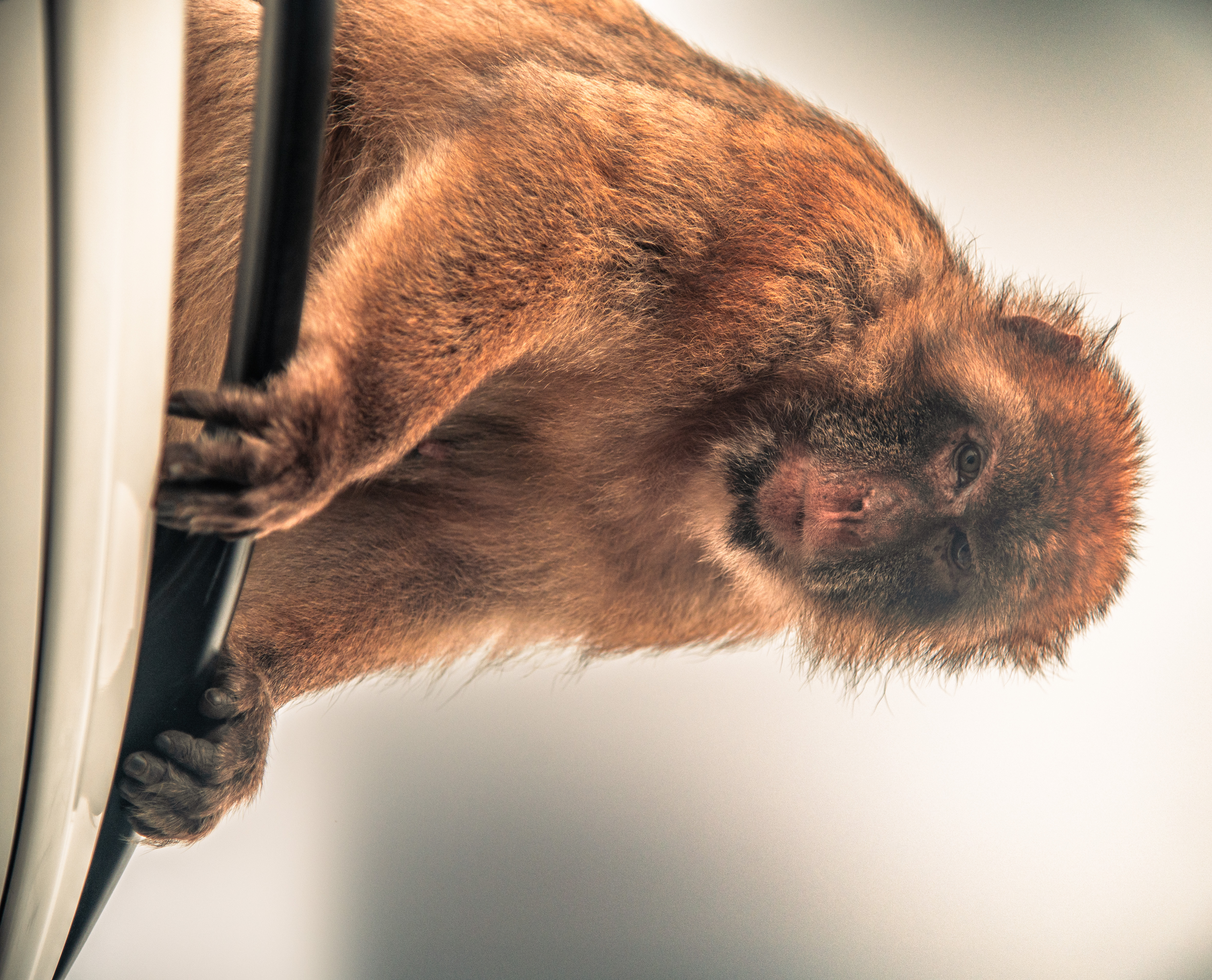
filename: Apes_Den_20211226_DSC_5759.jpg

©www.mgaylard.co.uk.
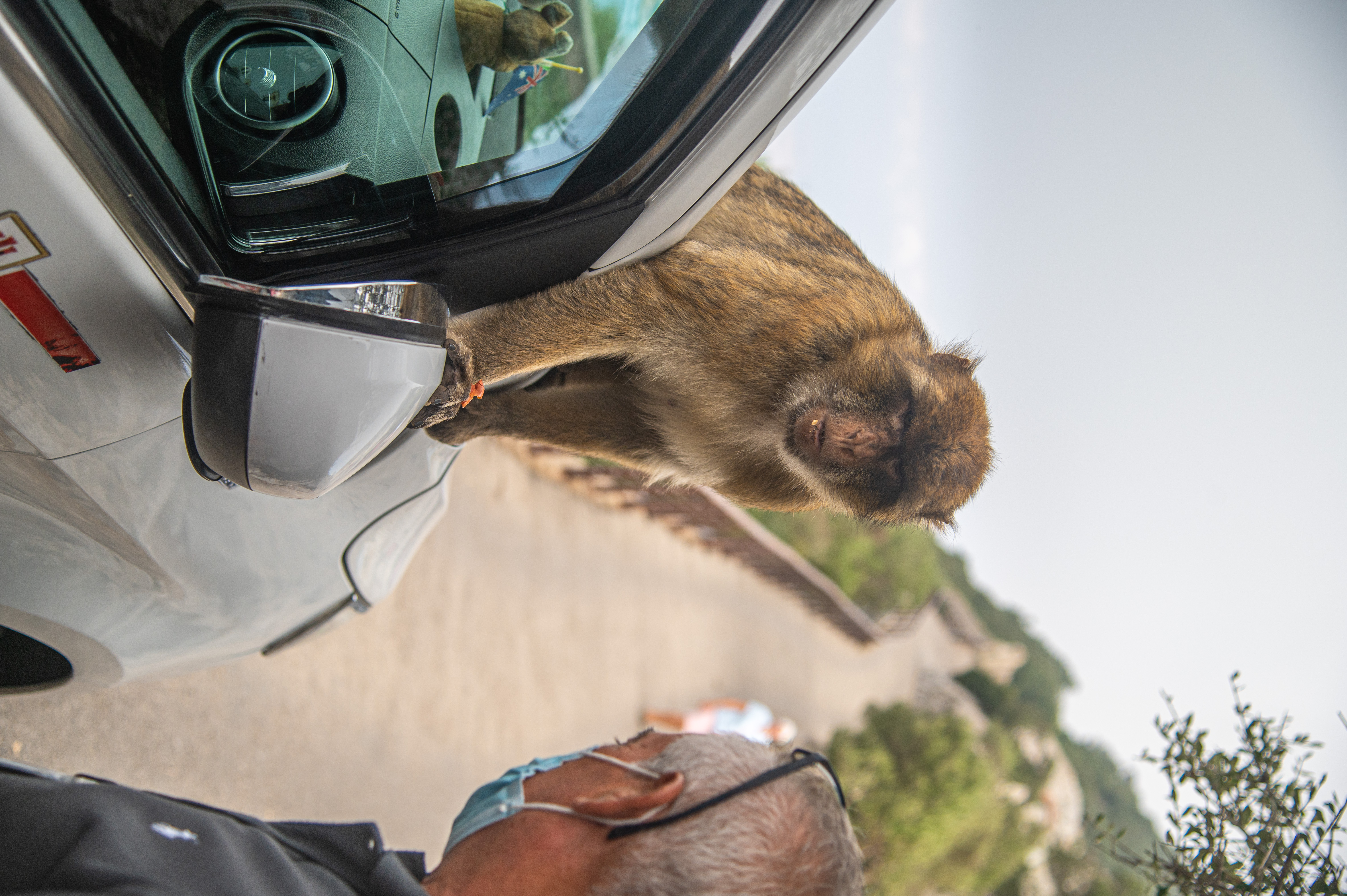
filename: Apes_Den_20211226_DSC_5748.jpg
©www.mgaylard.co.uk.
filename: Apes_Den_20211226_DSC_5752.jpg
©www.mgaylard.co.uk.
filename: Apes_Den_20211226_DSC_5746.jpg

©www.mgaylard.co.uk.
filename: Apes_Den_20211226_DSC_5745.jpg
©www.mgaylard.co.uk.
filename: Apes_Den_20210930_DSC_3264.jpg
©www.mgaylard.co.uk.
filename: Apes_Den_20210930_DSC_3223.jpg
©www.mgaylard.co.uk.
filename: Apes_Den_20210930_DSC_3222.jpg
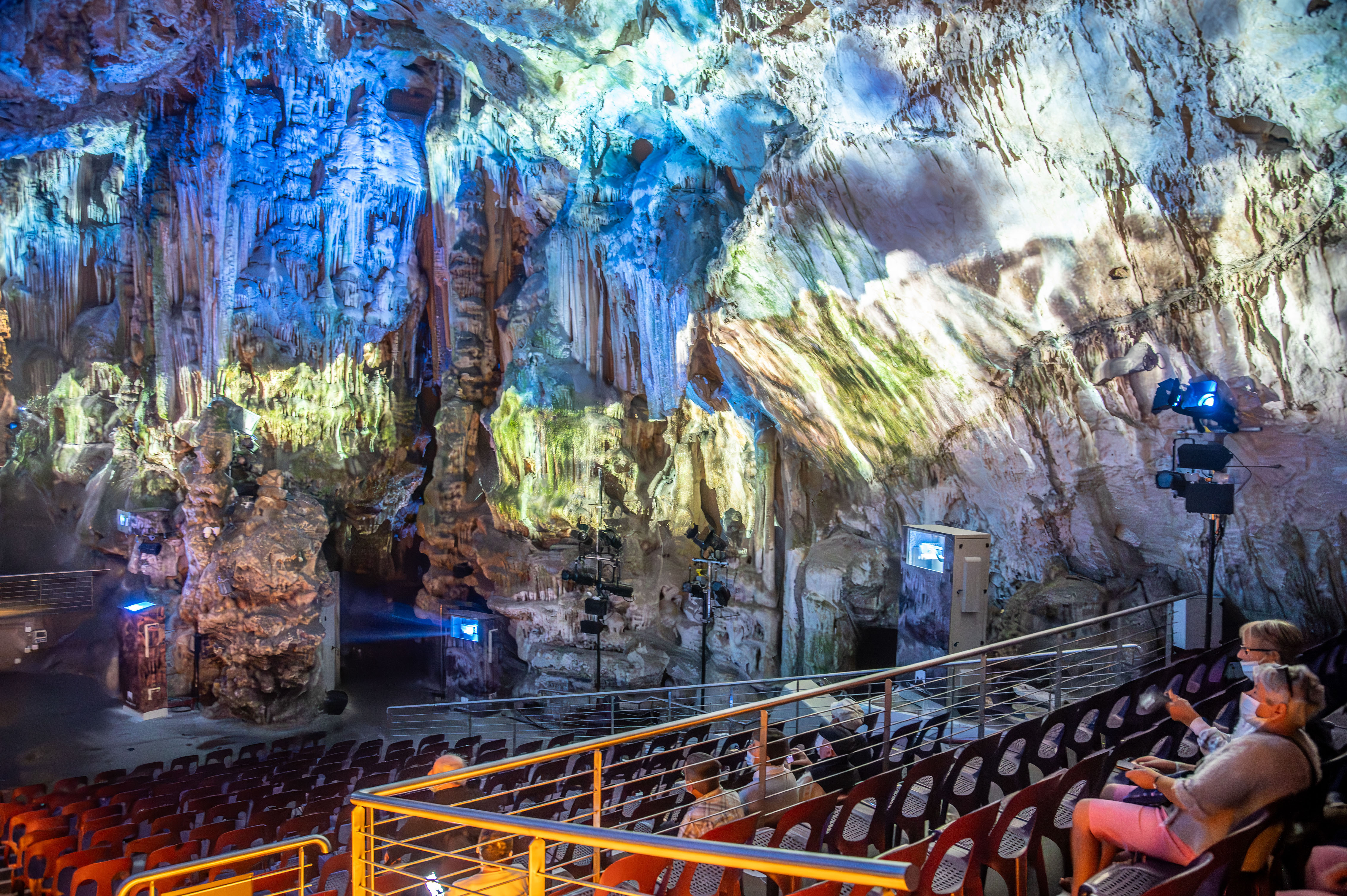
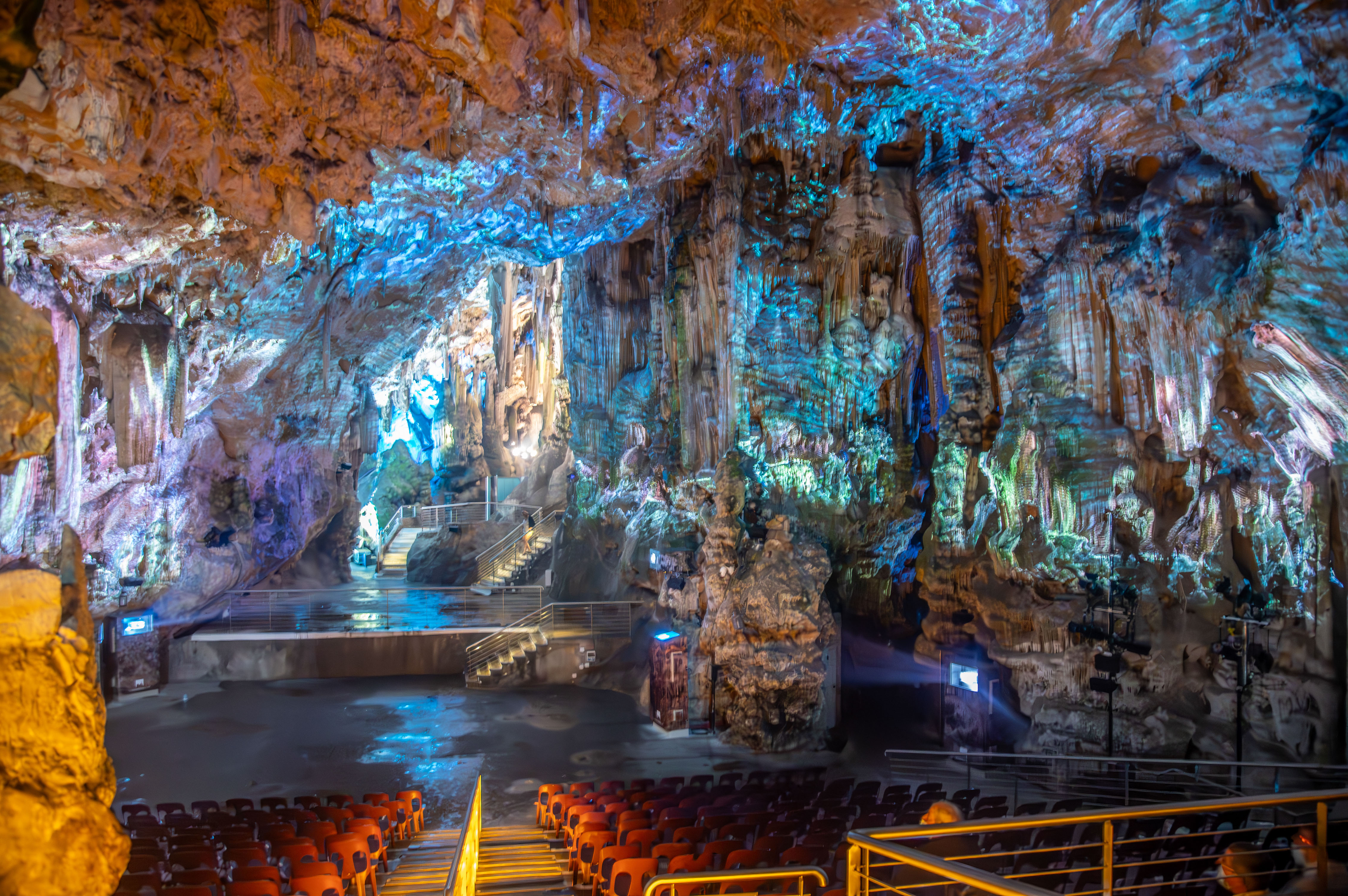
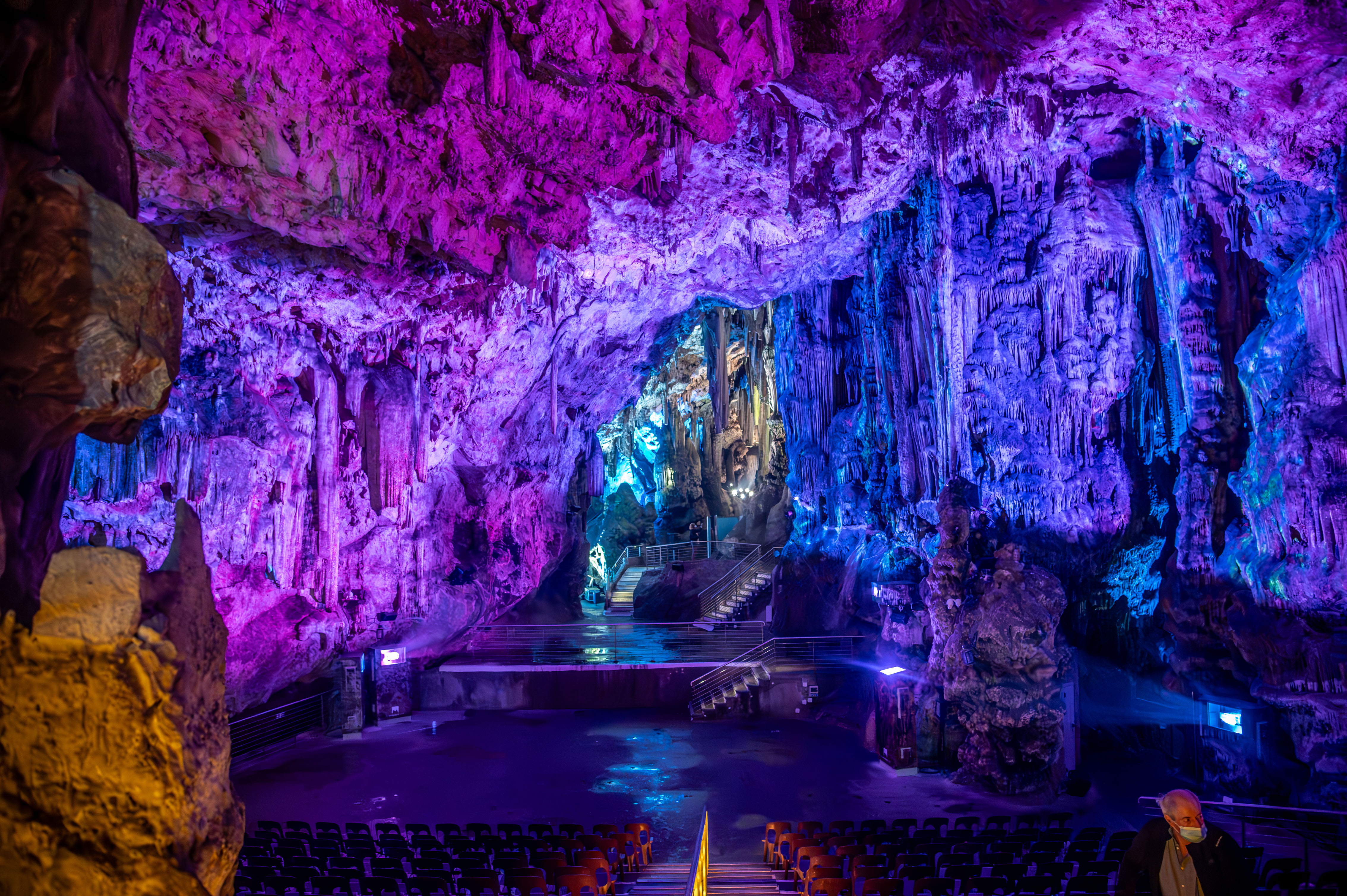
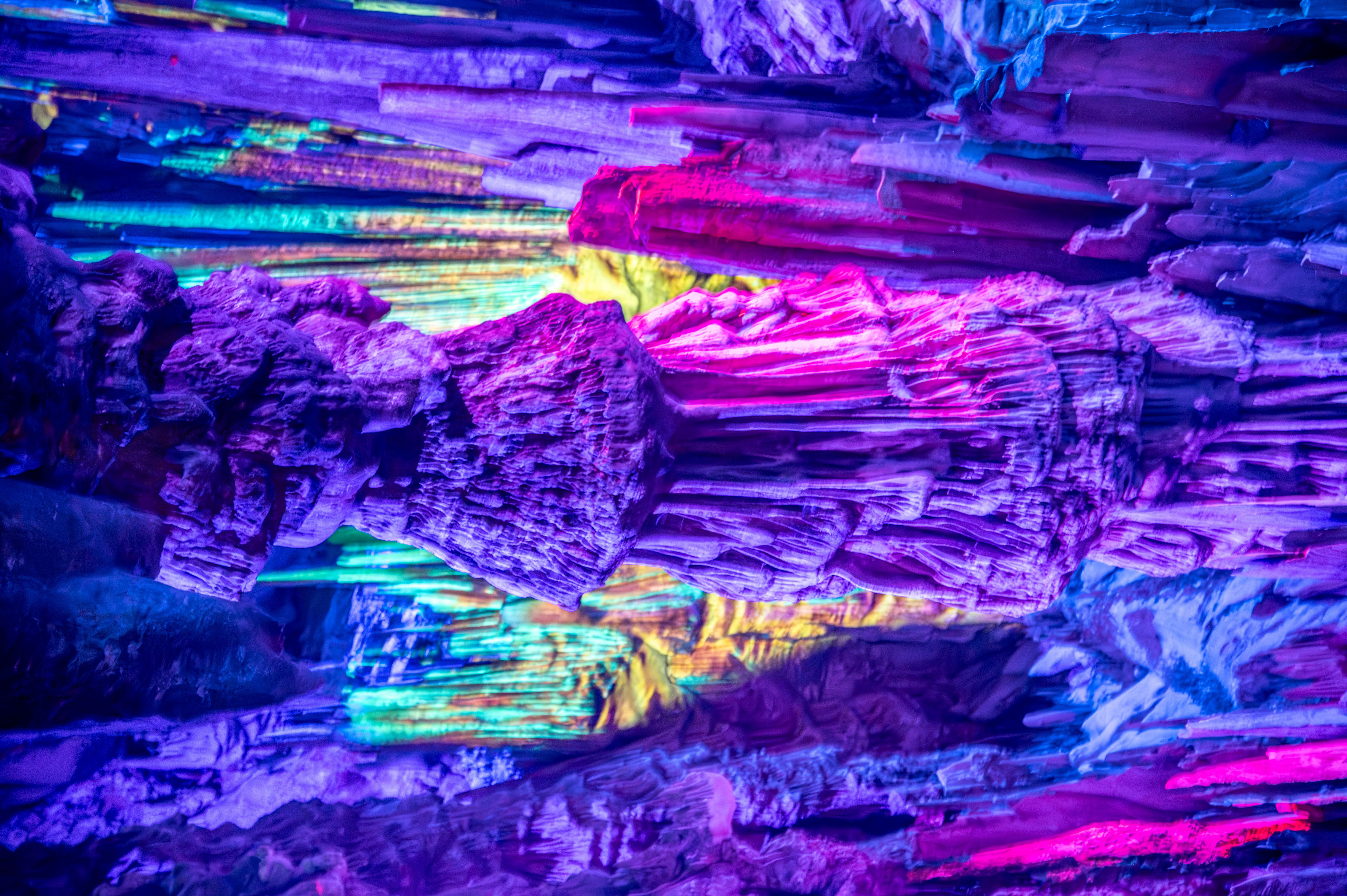
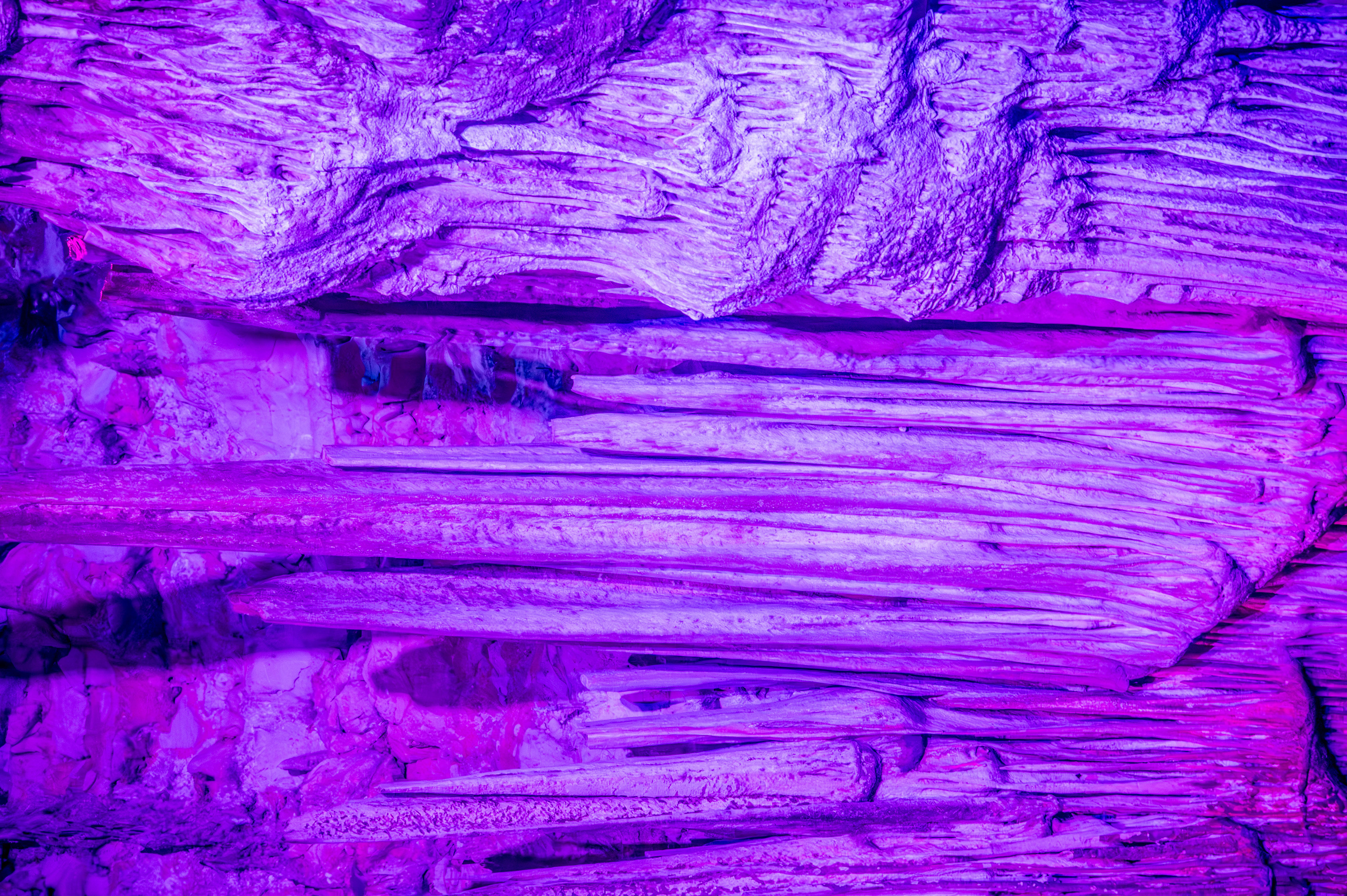
St Michaels Cave
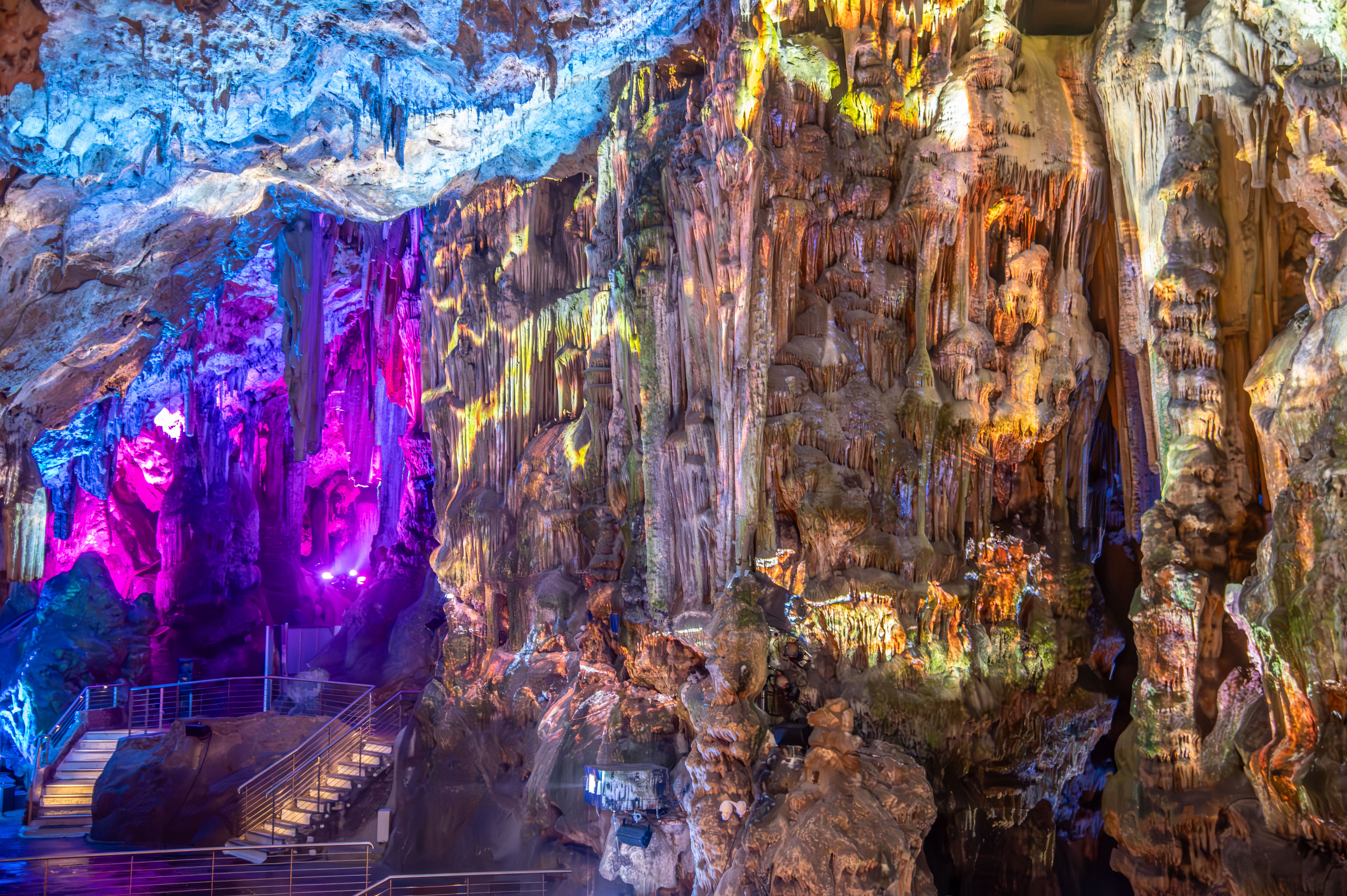
©www.mgaylard.co.uk.
filename: St_Michaels_Cave_DSC_3218-Enhanced-NR.jpg
©www.mgaylard.co.uk.
filename: St_Michaels_Cave_DSC_3209-Enhanced-NR.jpg
©www.mgaylard.co.uk.
filename: St_Michaels_Cave_DSC_3206-Enhanced-NR.jpg
©www.mgaylard.co.uk.
filename: St_Michaels_Cave_DSC_3204-Enhanced-NR.jpg
©www.mgaylard.co.uk.
filename: St_Michaels_Cave_DSC_3202-Enhanced-NR.jpg
©www.mgaylard.co.uk.
filename: St_Michaels_Cave_DSC_3199-Enhanced-NR.jpg
©www.mgaylard.co.uk.
filename: St_Michaels_Cave_DSC_3198-Enhanced-NR.jpg

©www.mgaylard.co.uk.
filename: St_Michaels_Cave_DSC_3192-Enhanced-NR.jpg

©www.mgaylard.co.uk.
filename: St_Michaels_Cave_DSC_3190-Enhanced-NR.jpg

©www.mgaylard.co.uk.
filename: St_Michaels_Cave_DSC_3185-Enhanced-NR.jpg
©www.mgaylard.co.uk.
filename: St_Michaels_Cave_DSC_3184-Enhanced-NR.jpg
©www.mgaylard.co.uk.
filename: St_Michaels_Cave_DSC_3178-Enhanced-NR.jpg
©www.mgaylard.co.uk.
filename: St_Michaels_Cave_DSC_3175-Enhanced-NR.jpg