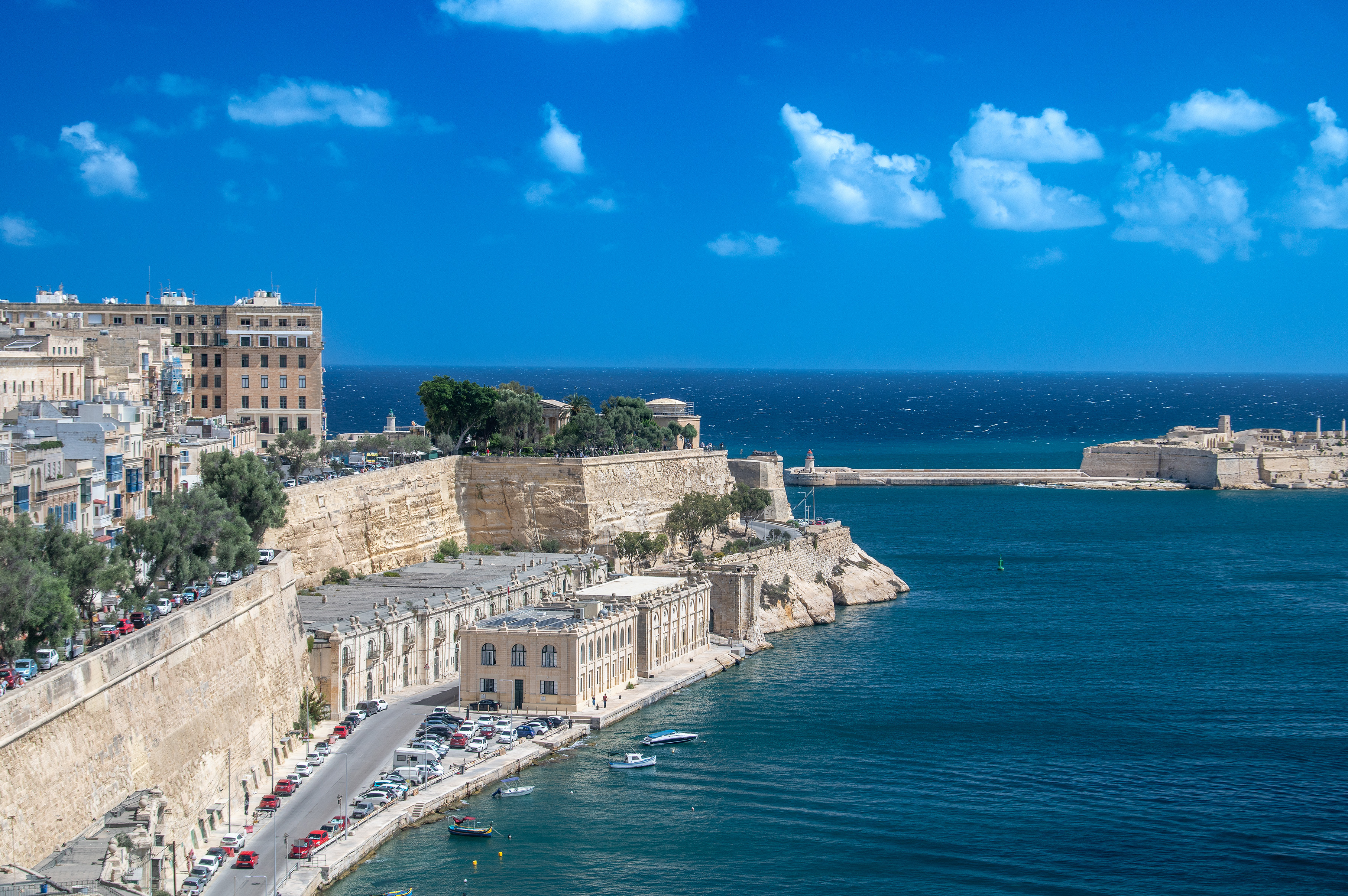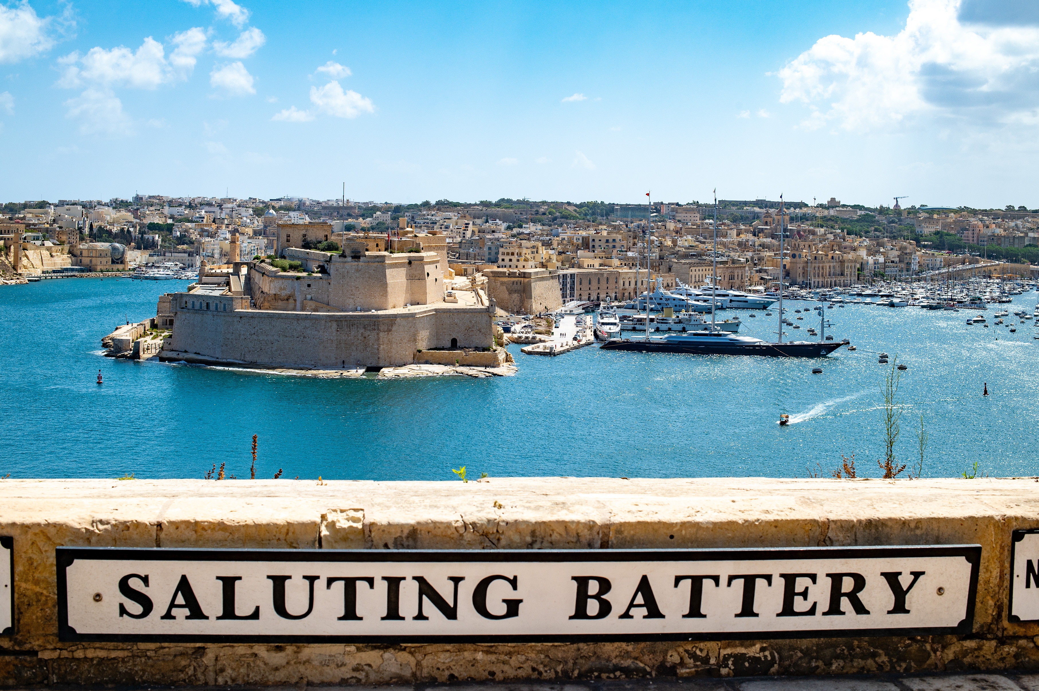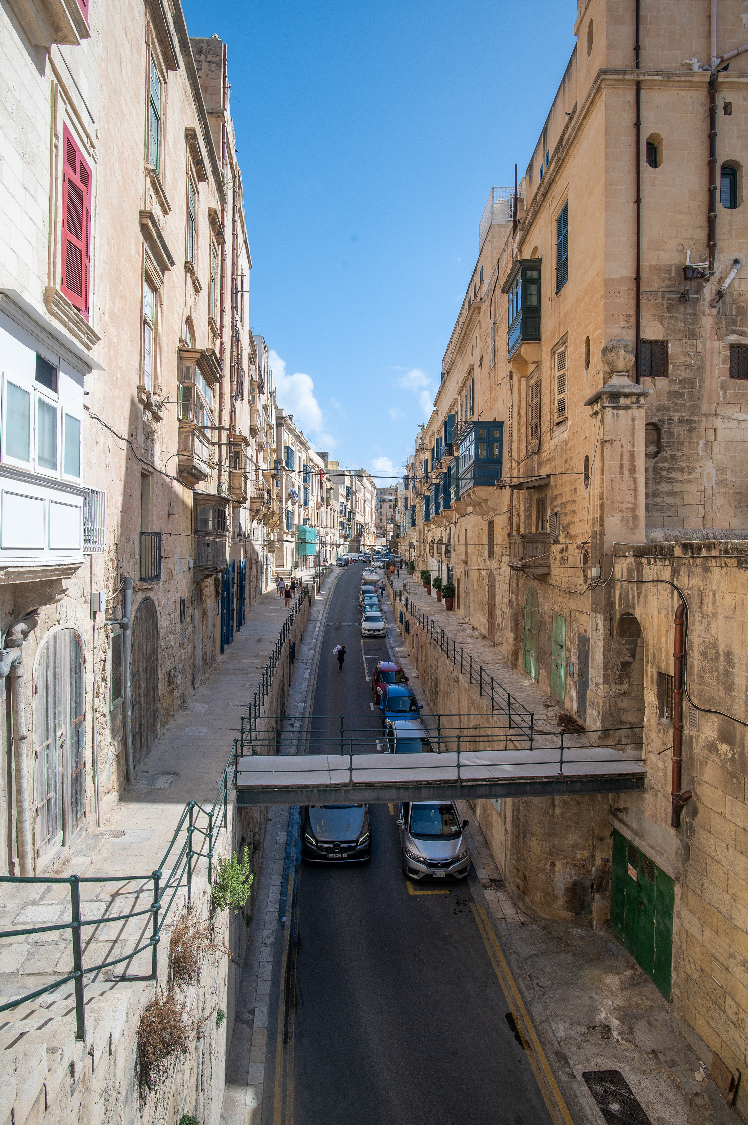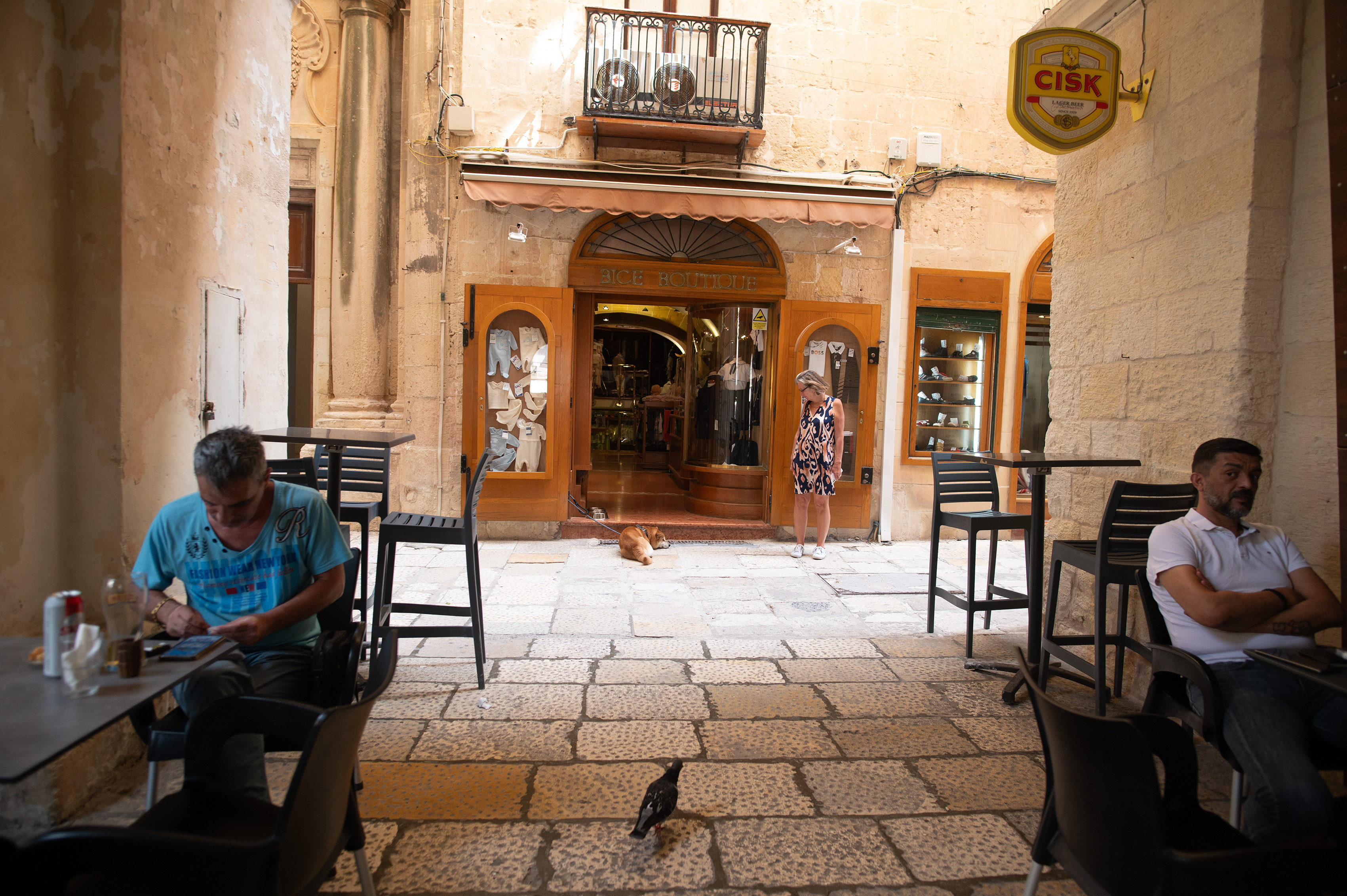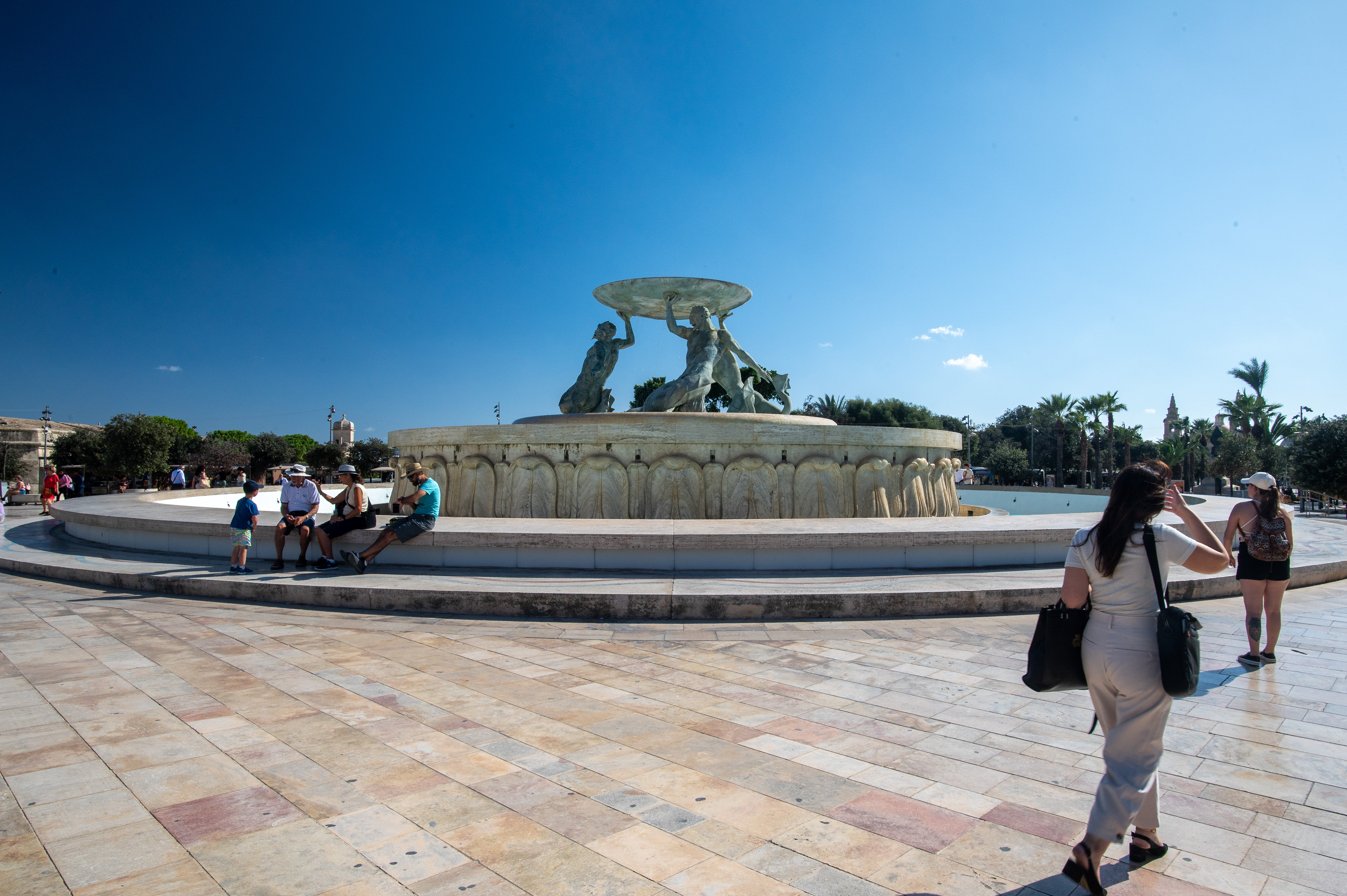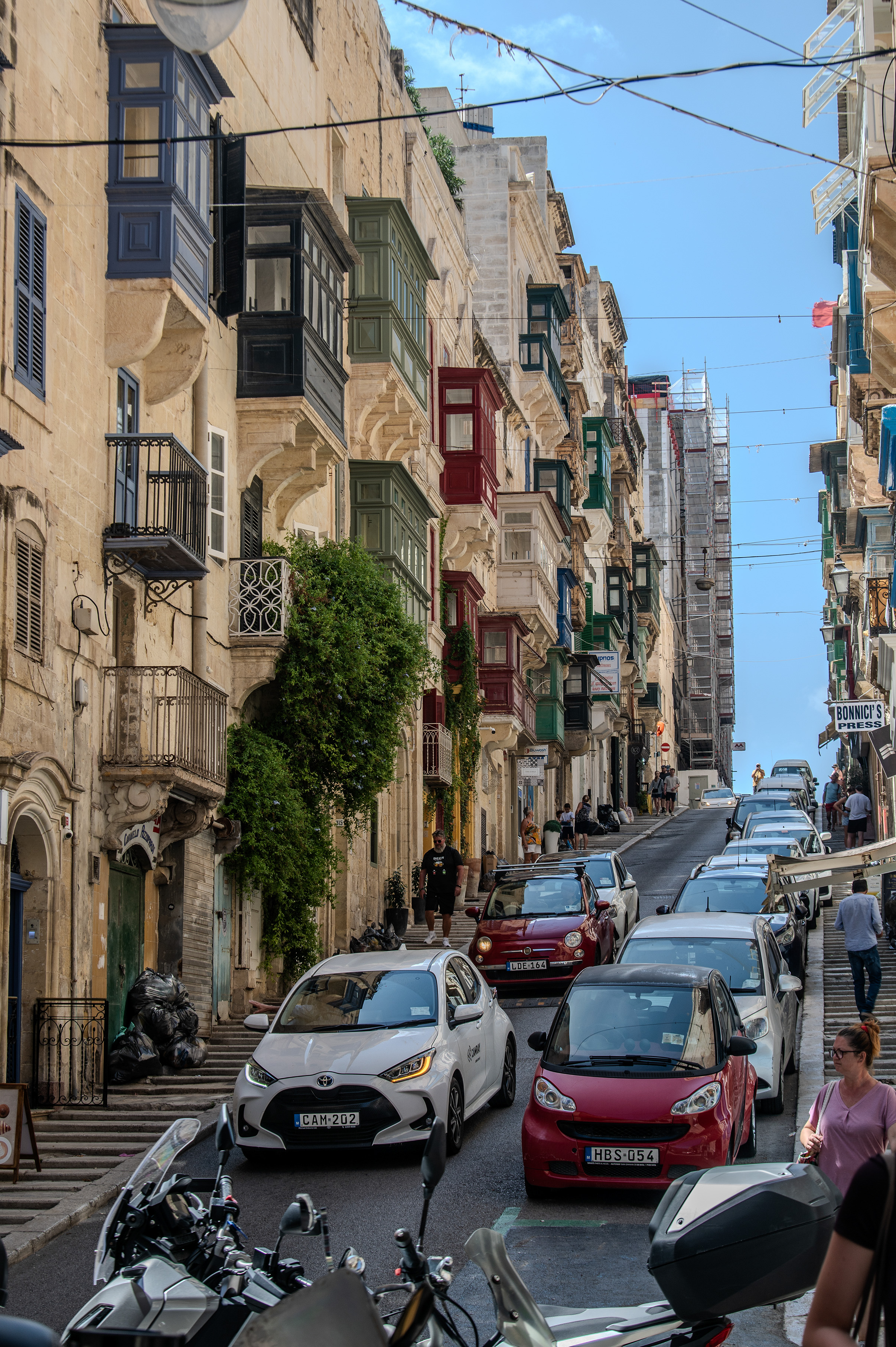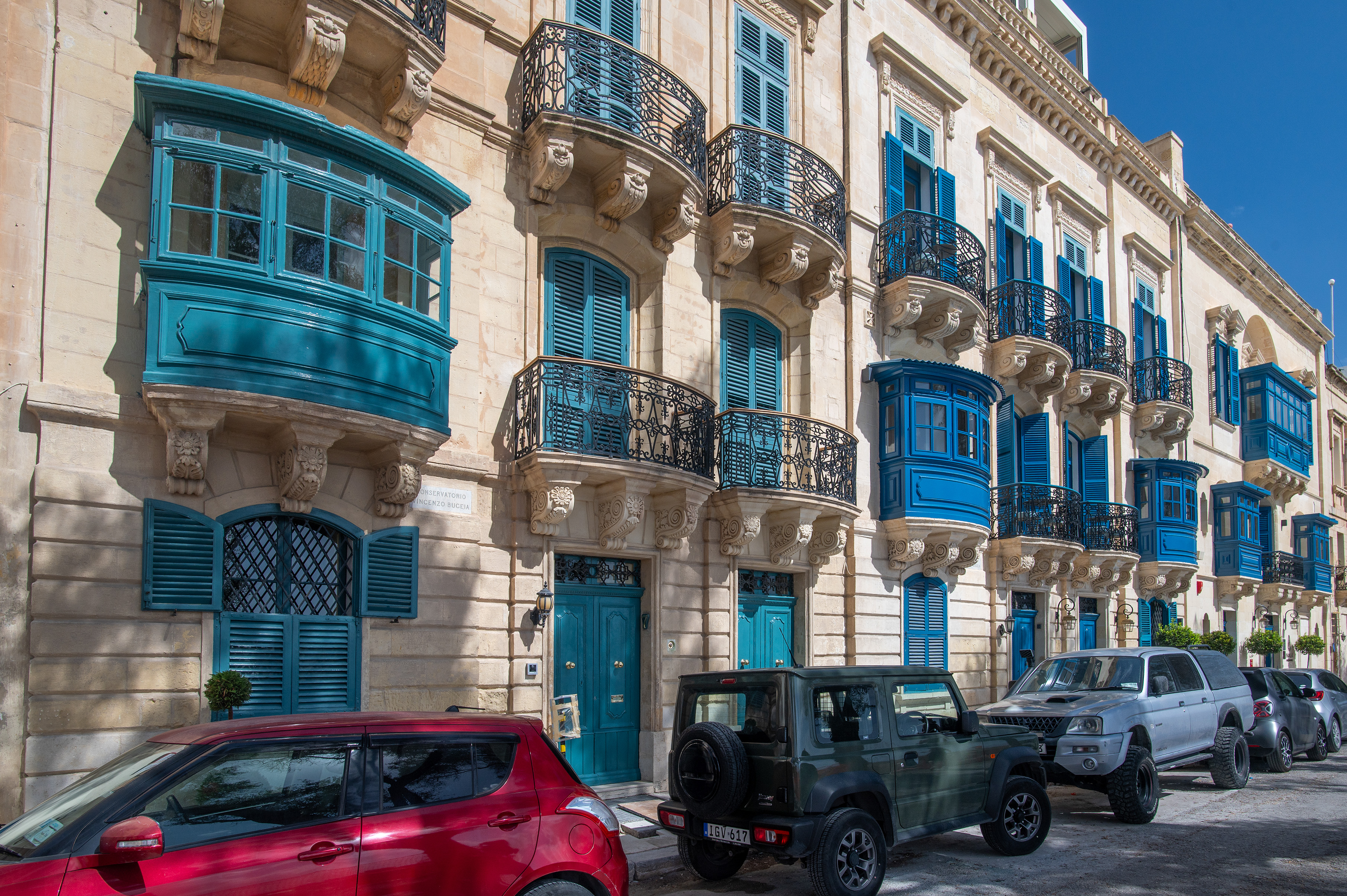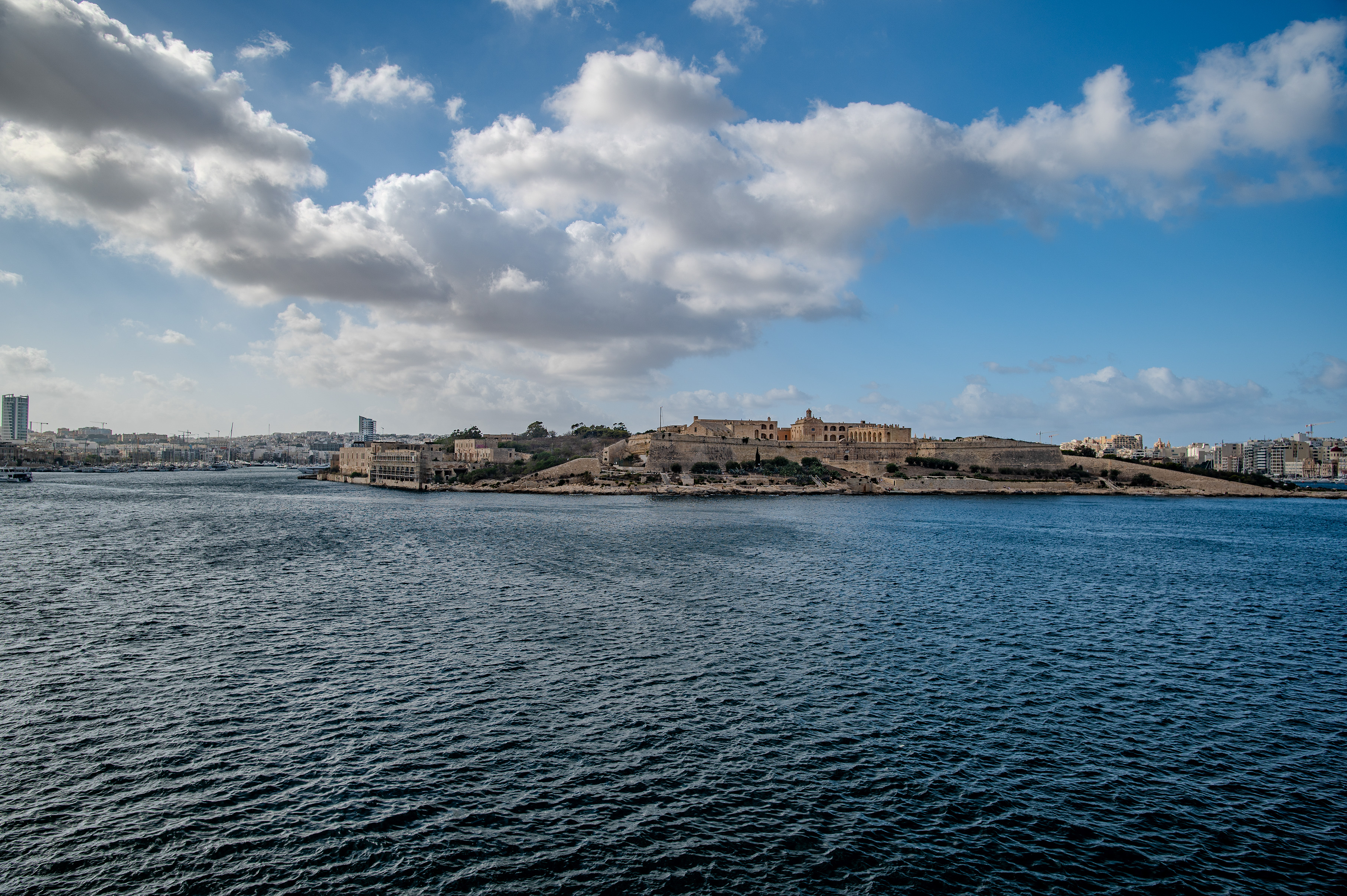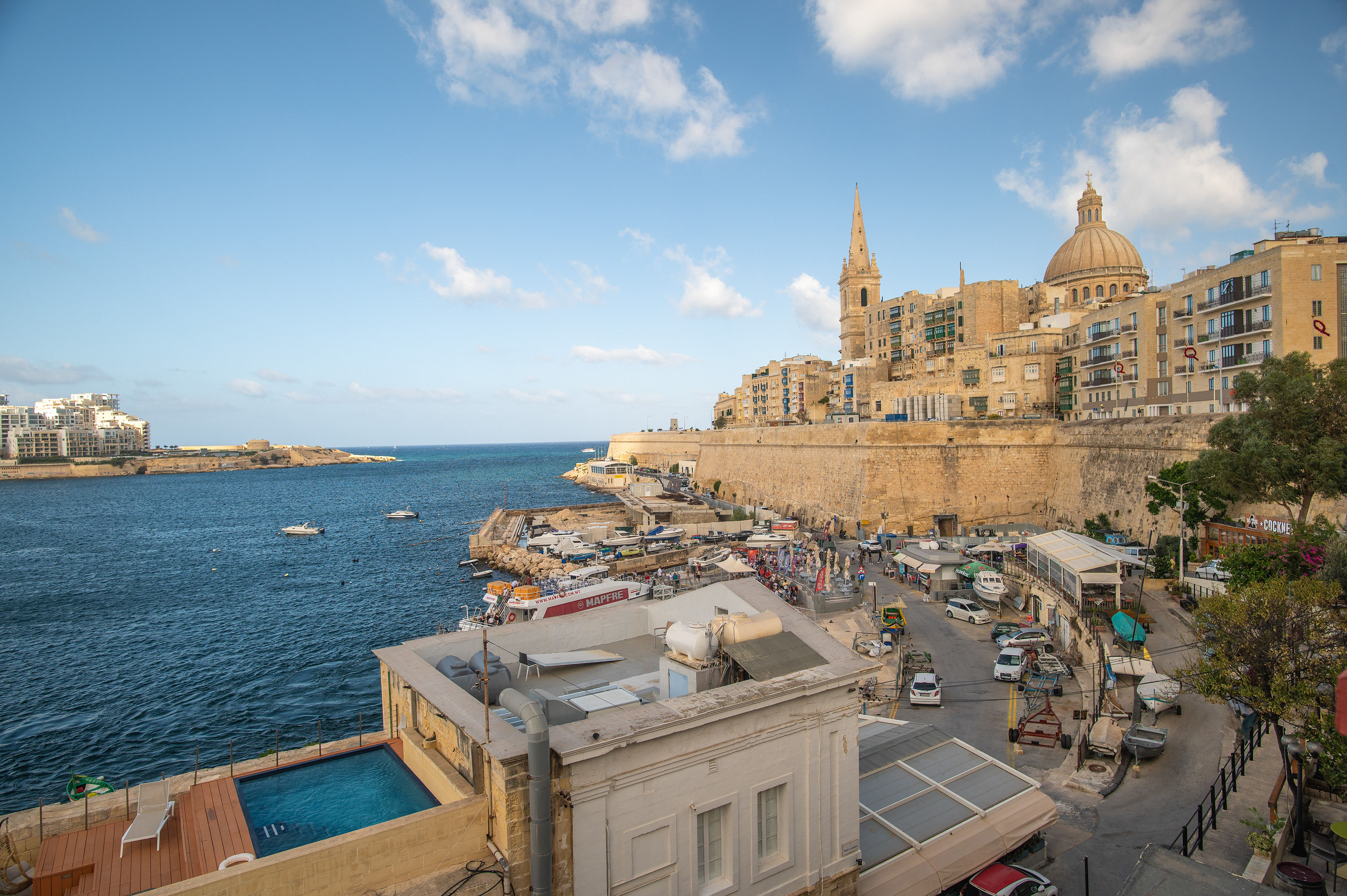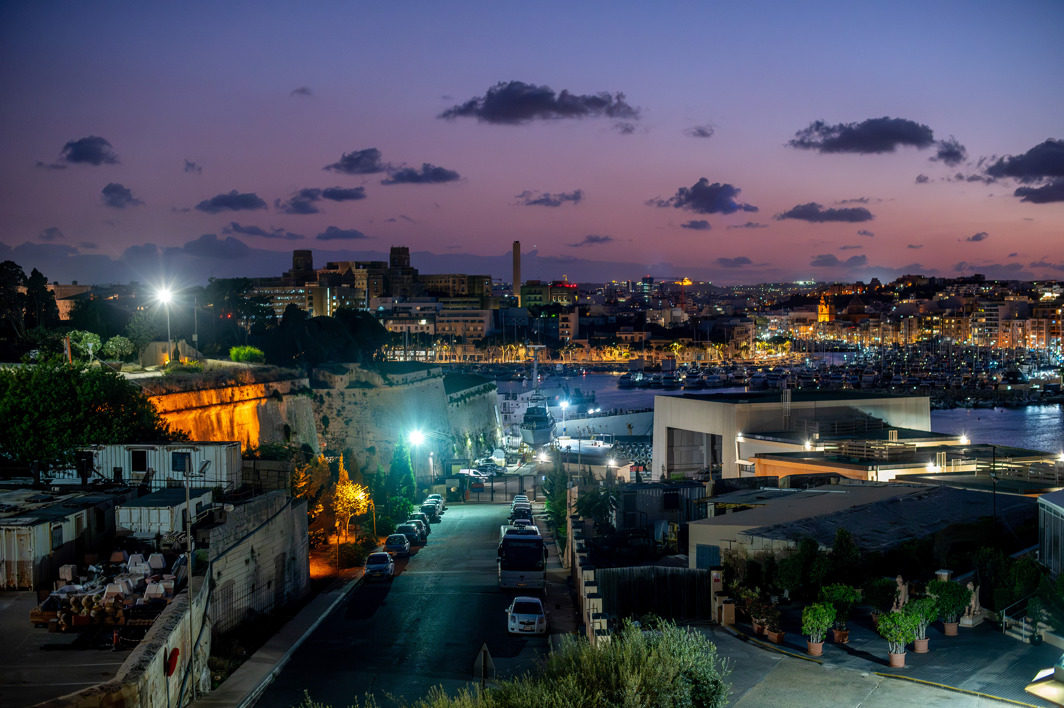
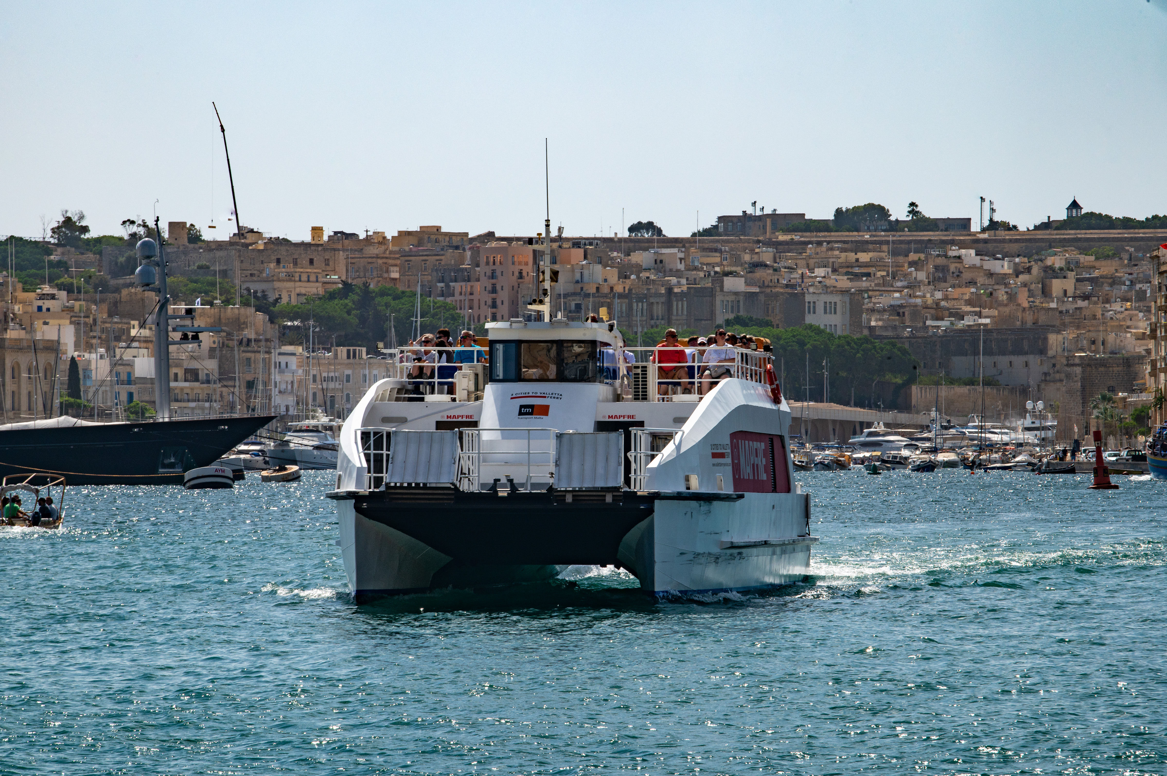
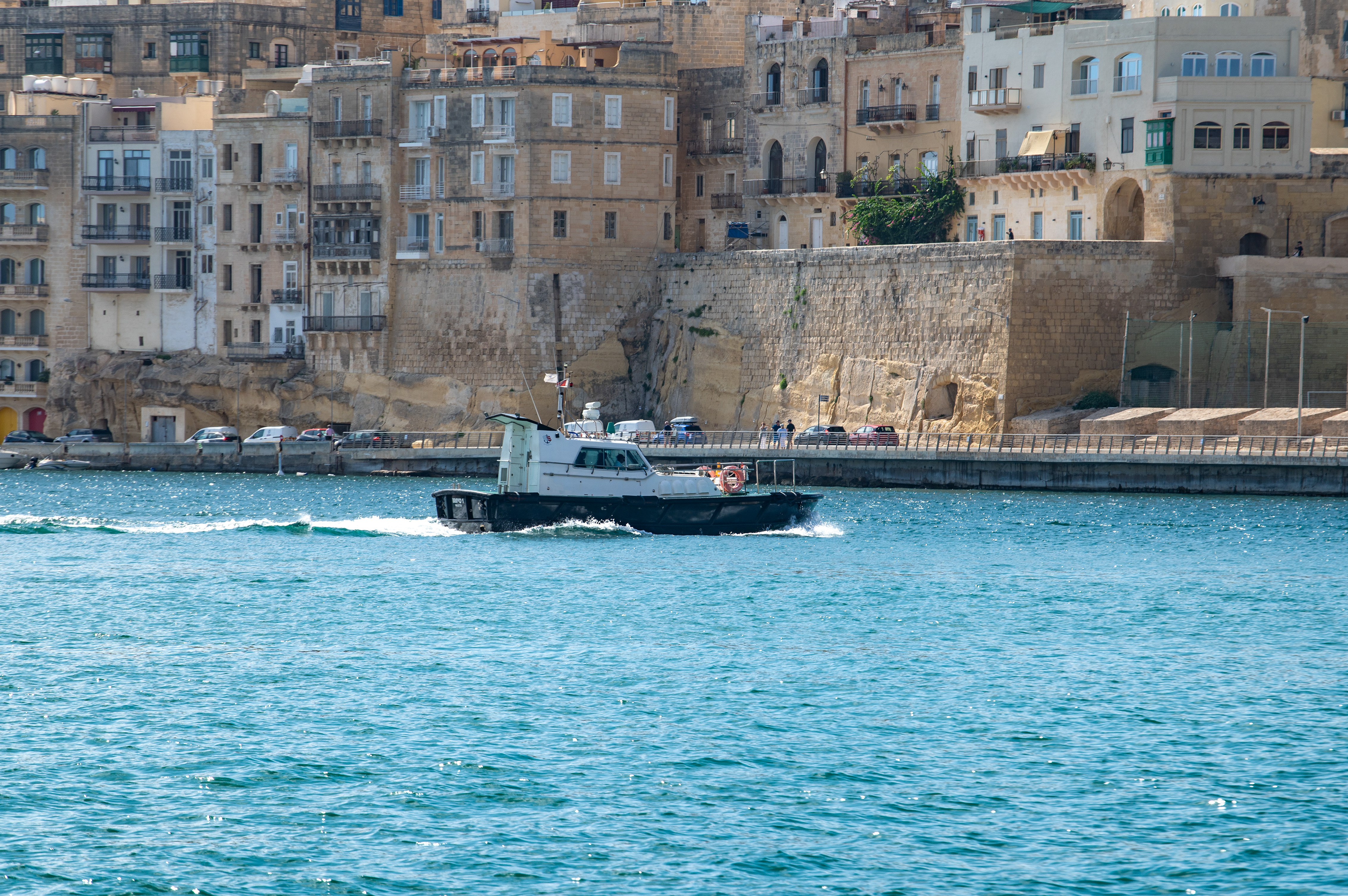

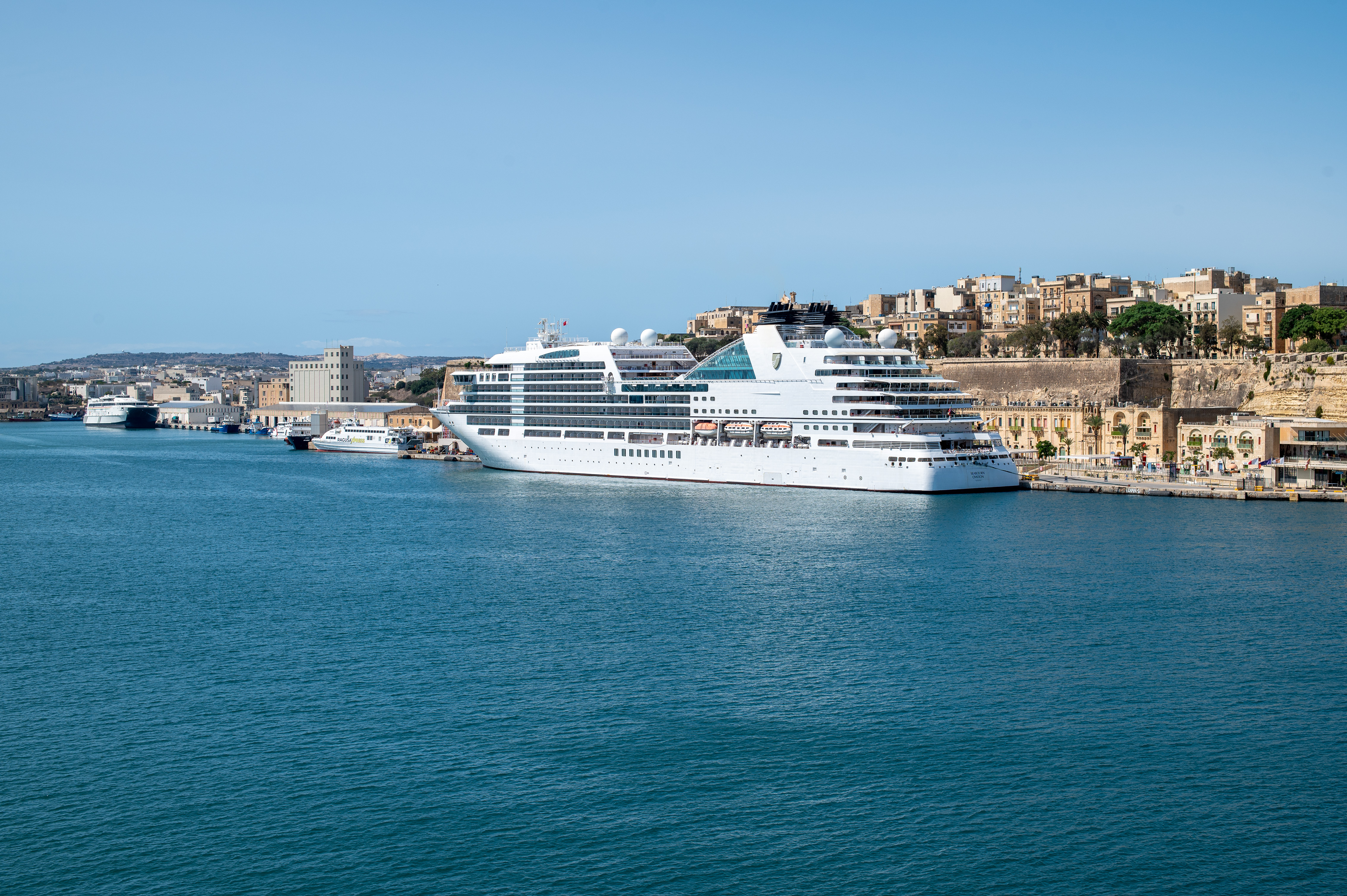
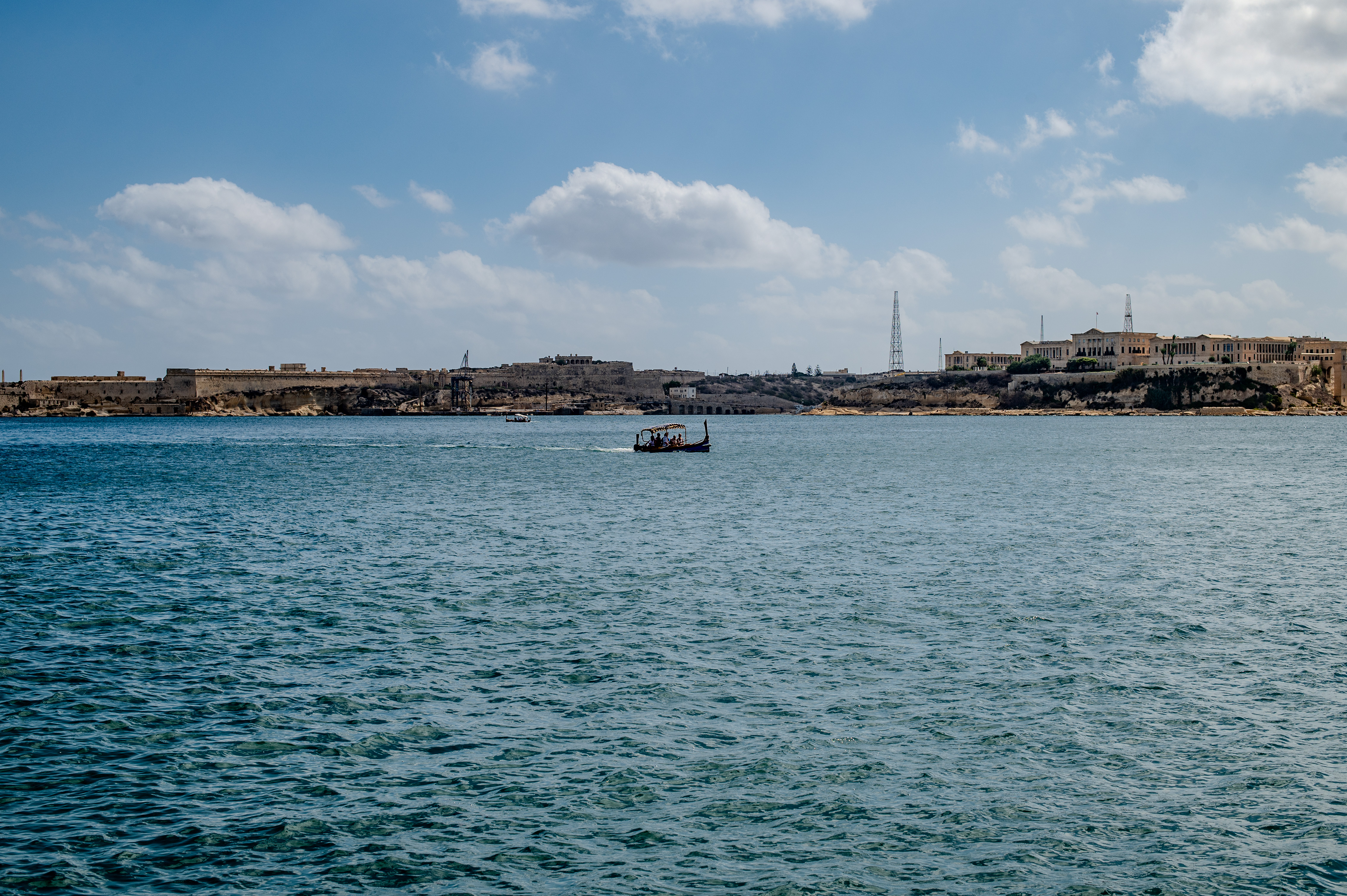

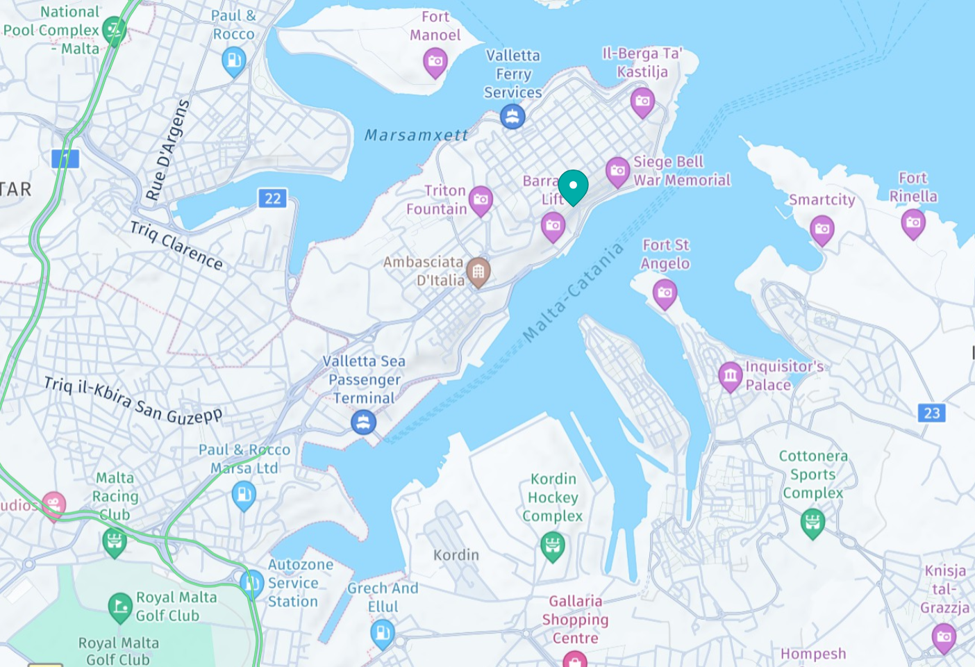
Grand Harbour in Malta is one of the Mediterranean’s most historic and visually striking natural harbours, central to the island’s identity and resilience.
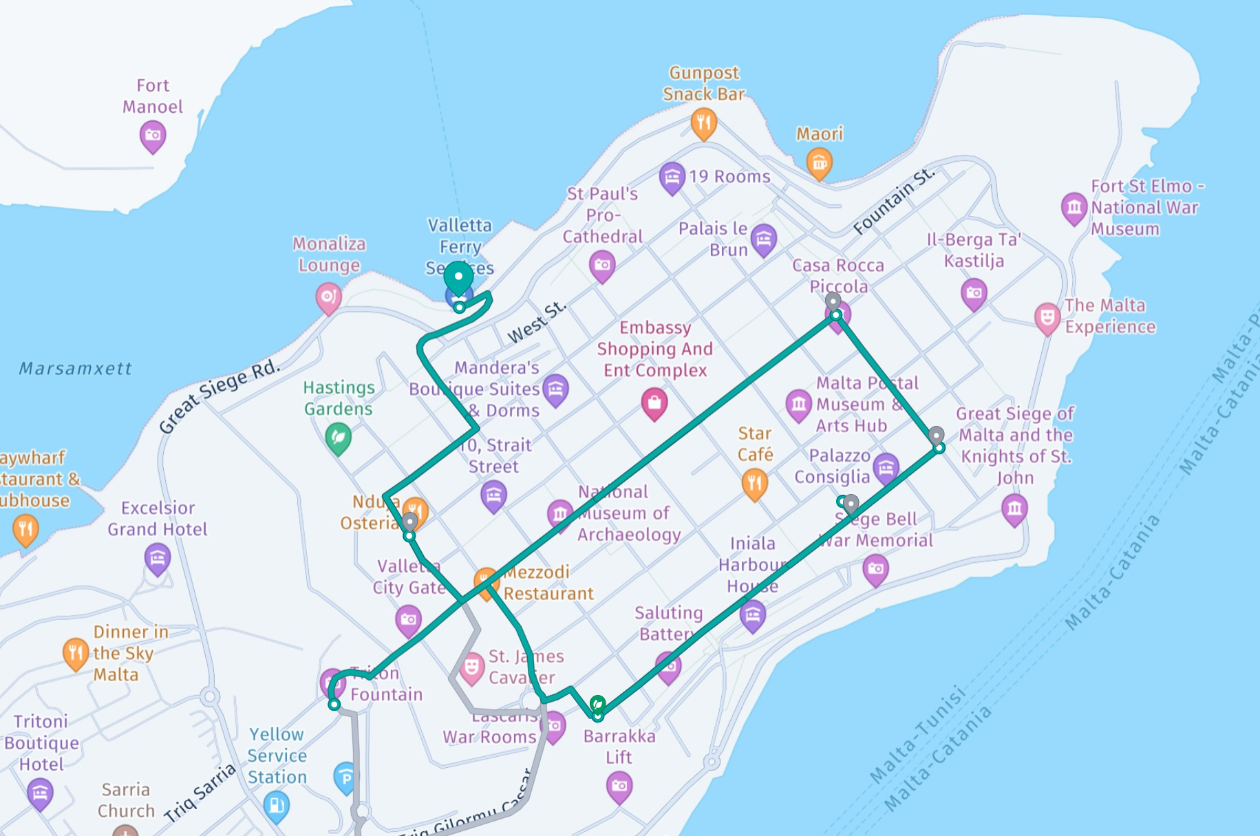
Southeastern Malta, between Valletta (northwest shore) and the Three Cities (Birgu/Vittoriosa, Senglea, Cospicua) on the southeast. Size: About 2,035,000 m² (503 acres), stretching 3.63 km long and 1.33 km wide, with an average depth of 7.7 m.
Historical Significance
Prehistoric Use: Megalithic remains (Kordin Temples, c. 3700 BC) overlooked the harbour.
Phoenician & Roman Periods: Punic and Roman remains found along its shores; Cospicua may have been a Carthaginian port.
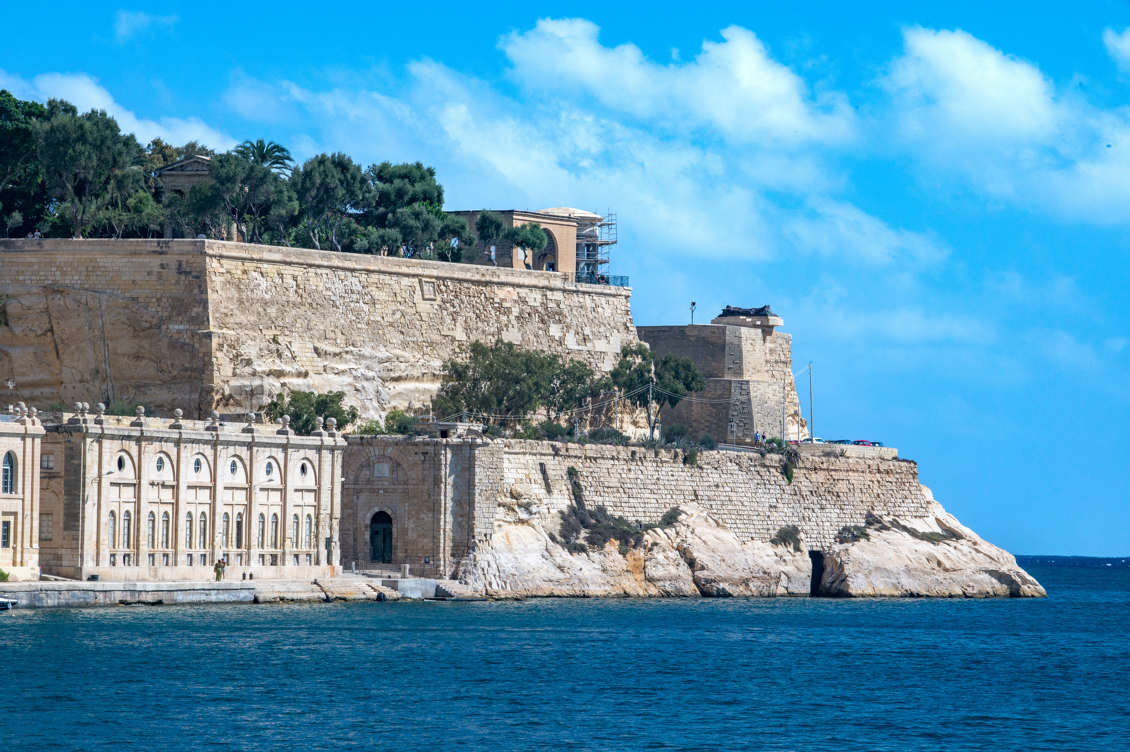
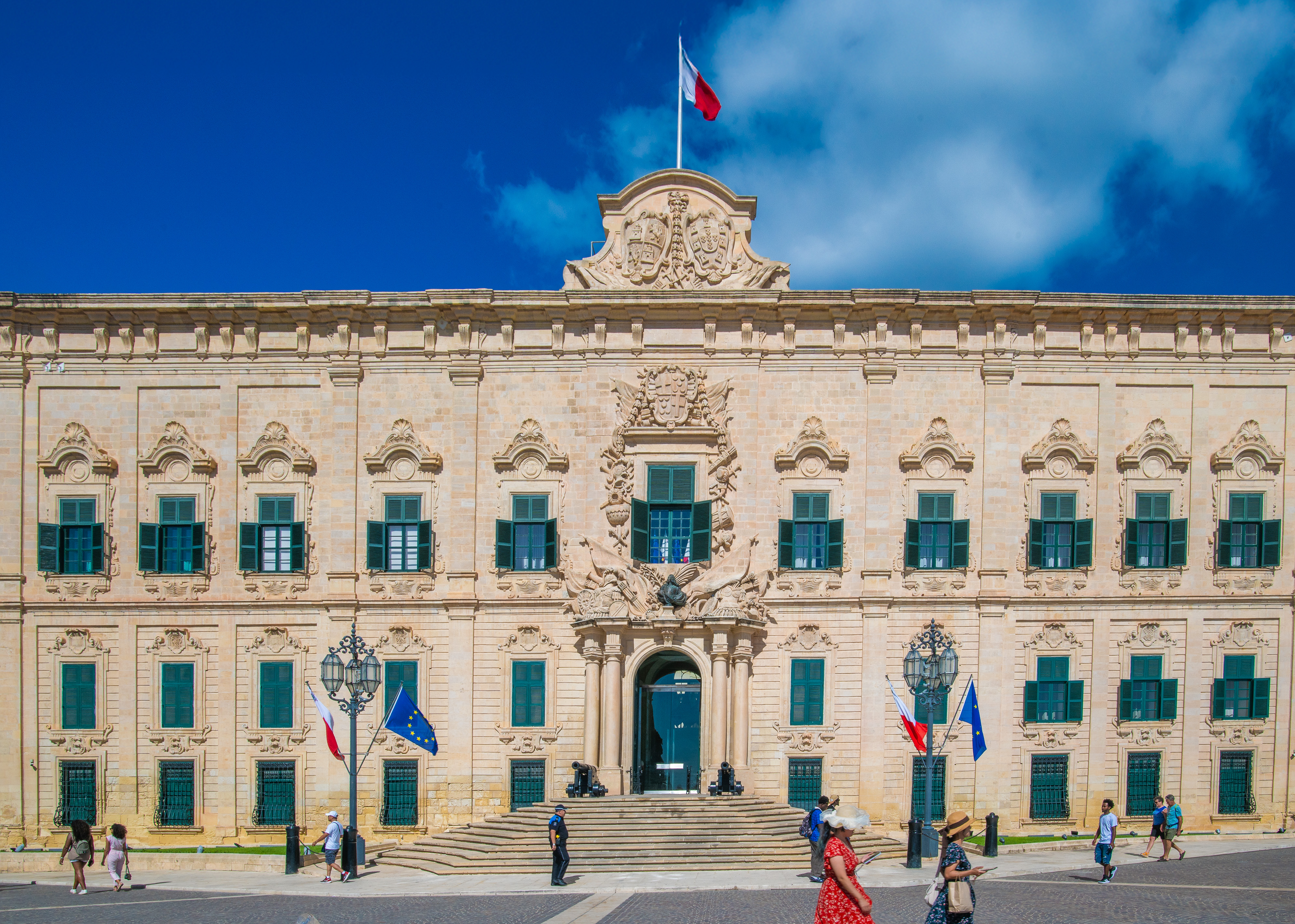
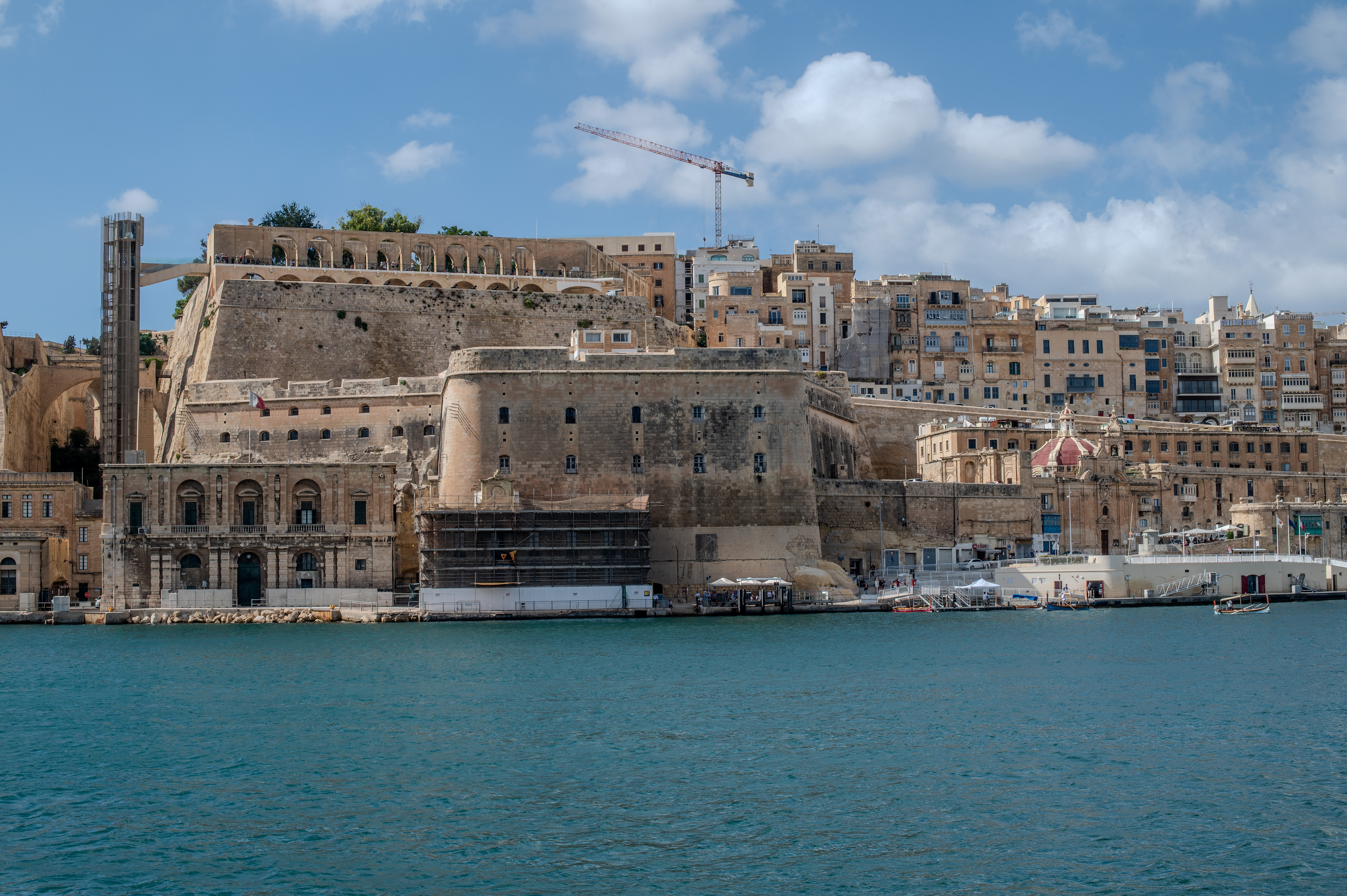
Knights of St. John: Established headquarters in Birgu, fortified Fort St. Angelo, and defended the harbour during the Great Siege of 1565.
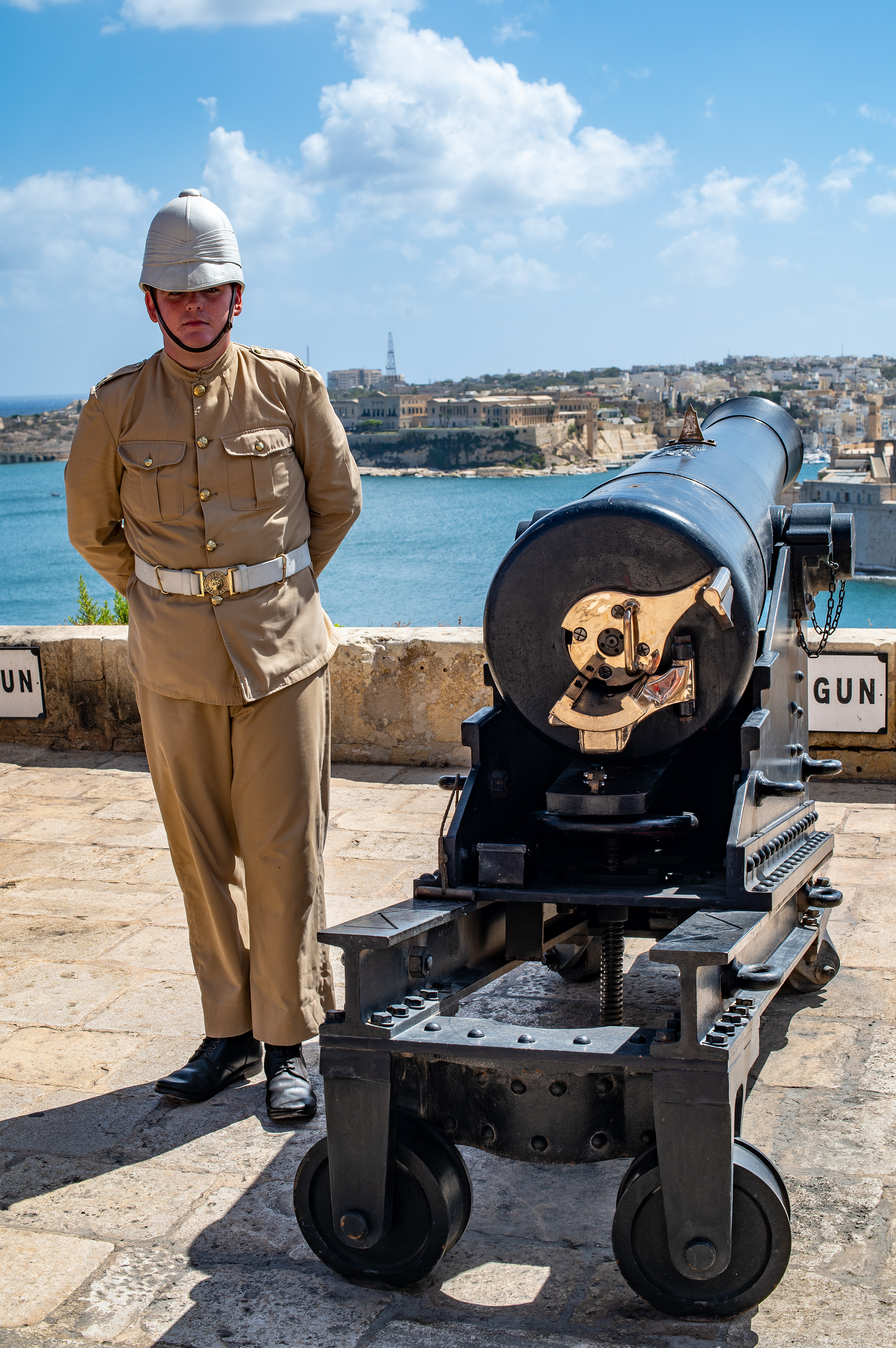
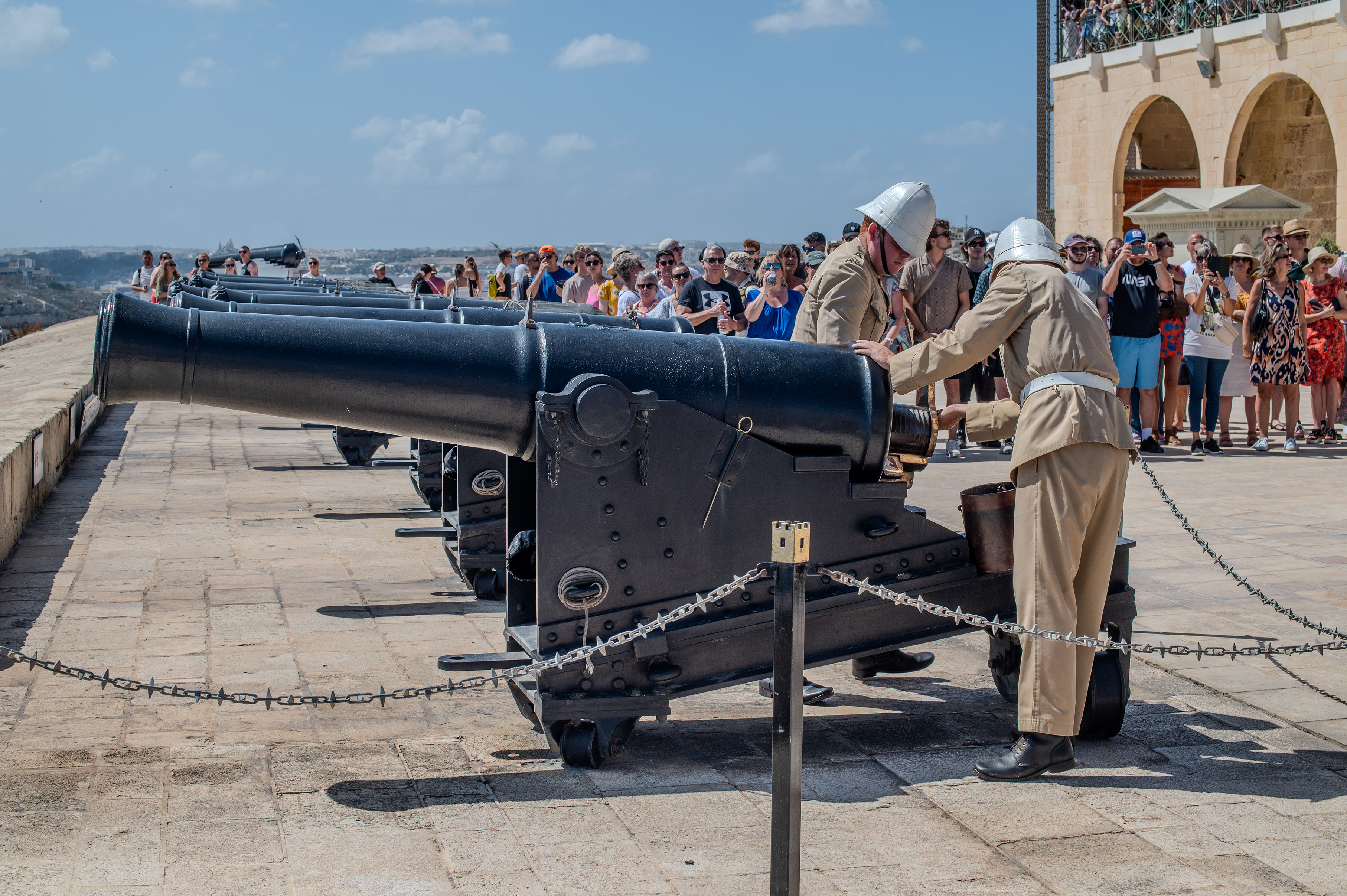
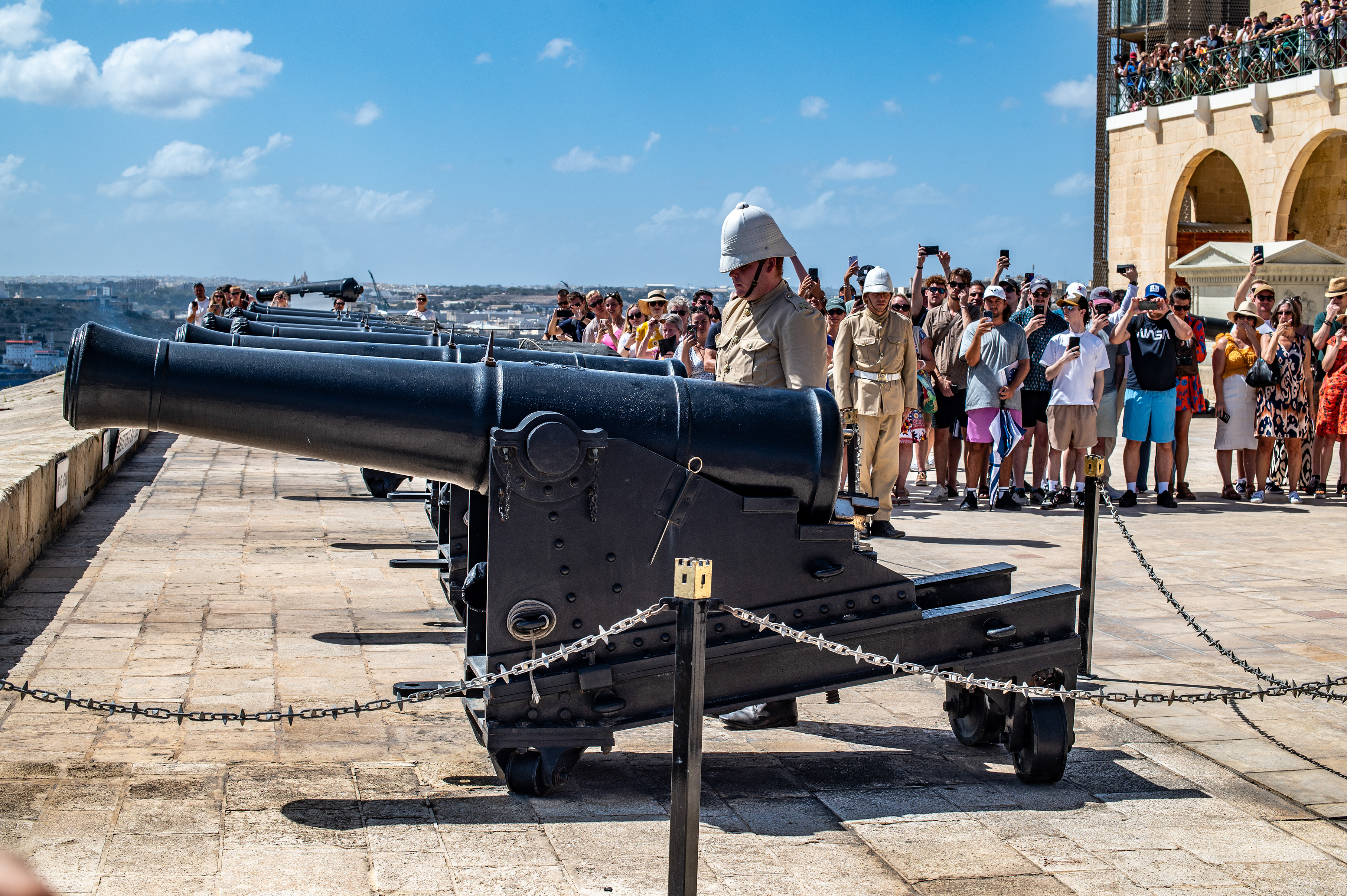
British Era: Expanded dockyards and fortifications, making it a major naval base.
World War II: Heavily bombed but remained a strategic Allied stronghold.
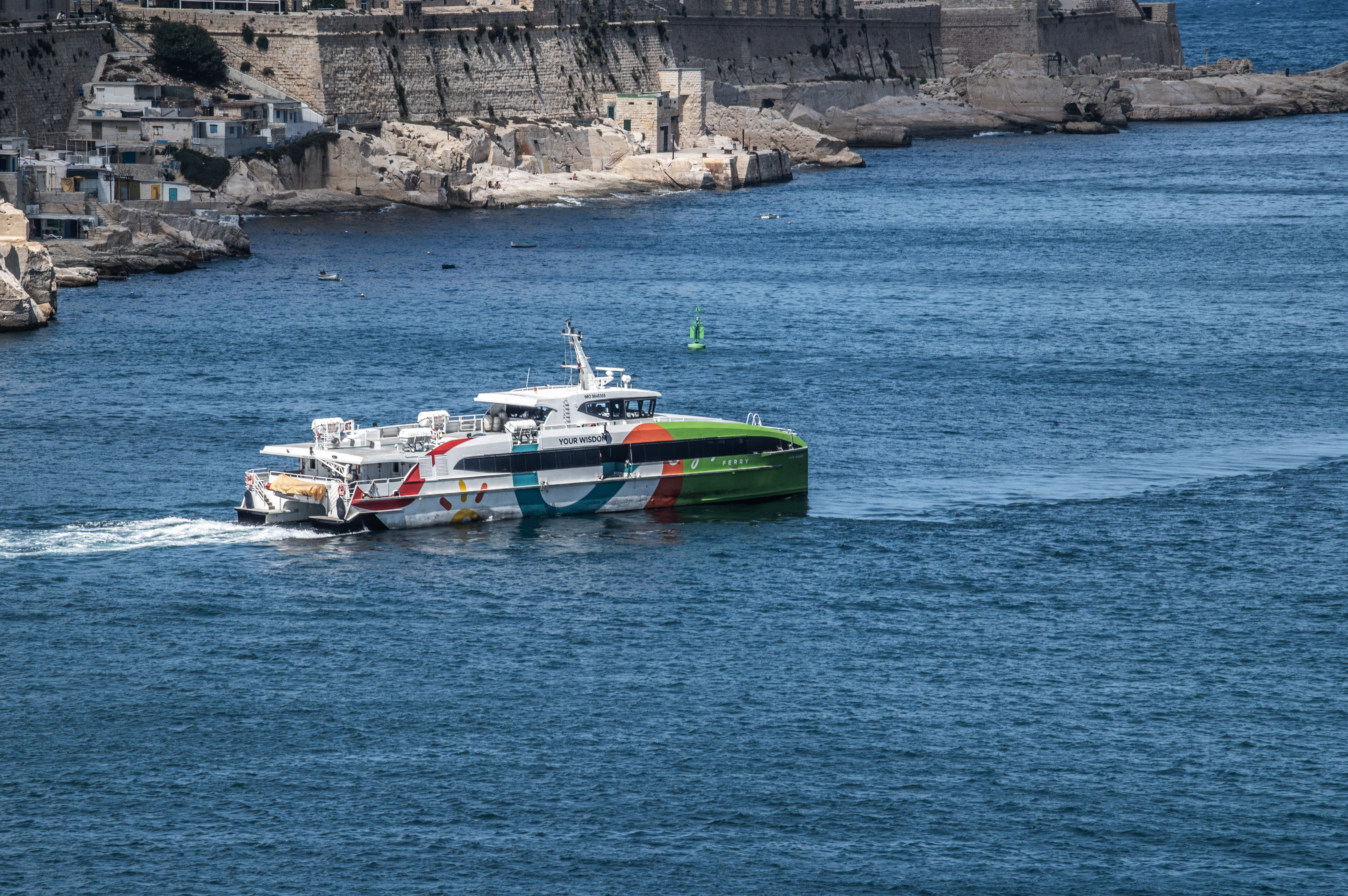
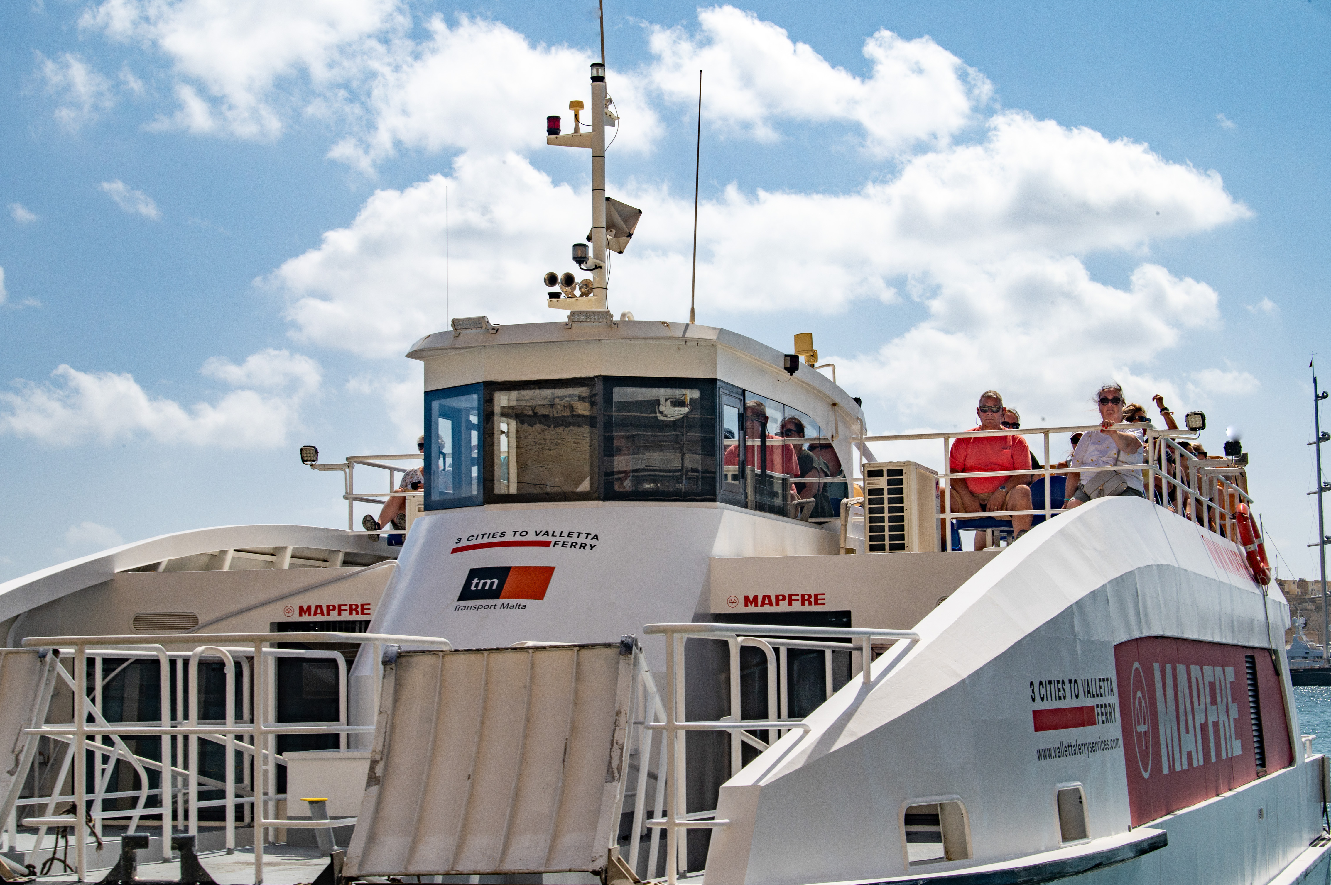
- Today, Grand Harbour is considered one of the world’s most visually captivating cruise ports, welcoming liners with Valletta’s UNESCO skyline as backdrop. Marinas host luxury yachts and pleasure boats, especially at Birgu’s Grand Harbour Marina.